The intense weather phenomena that caused storms and flooding, mainly in northern Greece, are gradually subsiding, while over the coming days the weather is expected to return to more typical summer conditions. According to the forecast on Star’s midday news bulletin, rainfall and thunderstorms will continue but are set to weaken, occurring mainly in the Peloponnese as well as mountainous areas of Macedonia, Thessaly, Central Greece, and Euboea. In Attica, there is a small chance of light showers.
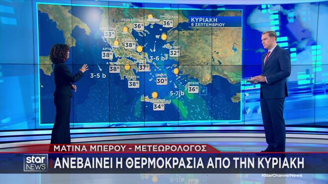
Weather: 38°C on Sunday, heat continuing into Monday
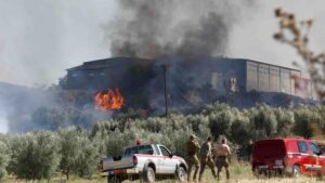
The shift in conditions will become noticeable from Saturday, when, as the meteorologist noted, sunshine will return and temperatures will move back to more seasonally normal levels. However, a defining feature of the weather will be strong northerly winds across the Aegean, reaching up to force 7 in some areas. These conditions are also expected to raise the risk of wildfires in regions such as Attica, Euboea, the Cyclades, Samos, and Crete.
On Sunday, winds will ease slightly and temperatures will begin to climb again, reaching up to 38°C locally across Thessaly, Epirus, Western Central Greece, and the Peloponnese, with the heat expected to continue into Monday.