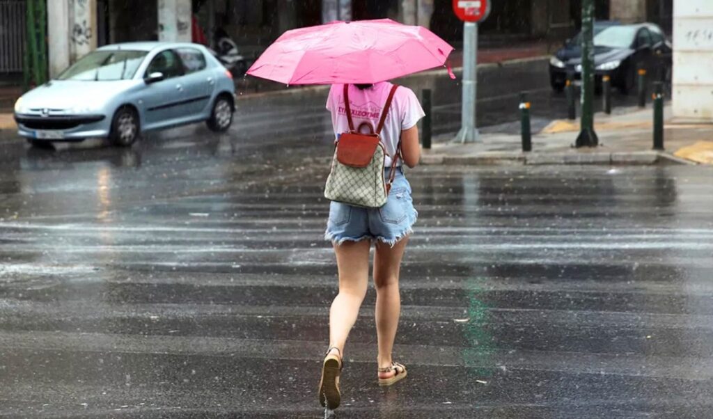
The weather on Thursday, September 3, 2026 is forecast to be particularly warm yet unstable, according to meteorological data from the National Observatory of Athens (meteo.gr). Although temperatures will remain above seasonal norms — reaching up to 37°C in some areas — there will be intermittent cloud cover, while inland regions can expect local showers and thunderstorms, accompanied by relatively elevated dust concentrations in the atmosphere.
Which regions can expect rain and thunderstorms
During the early morning hours, cloud cover will develop over the northern and eastern mainland, as well as parts of the Northern Aegean. Initially, local showers and sporadic thunderstorms will break out over Central and Eastern Macedonia, with a possibility of affecting parts of Central Greece as well. Cloud cover and isolated weather events will then gradually spread to the remaining inland regions throughout the day.
Temperature ranges by geographic zone
Maximum temperatures will rise noticeably across the country. In Western Macedonia, highs will range from 19°C to 31°C, while the rest of Macedonia and Thrace will see temperatures between 20°C and 35°C. Thessaly will reach 36°C, Epirus up to 33°C, and Central Greece along with the Peloponnese will record highs of up to 37°C. On the islands, the Cyclades and Dodecanese will top out at 32°C, Crete at 34°C, the Ionian Islands at 35°C, and the Northern and Eastern Aegean islands at 36°C. Northerly winds of 4 to 6 Beaufort will blow across the Aegean, while in the Ionian Sea, winds will initially be northwesterly at 3 to 5 Beaufort before strengthening to 4 to 6 Beaufort from midday onward.
Weather conditions in Athens and Thessaloniki
In Attica, temporarily increased cloud cover is expected, primarily in the northern parts of the region. Northerly winds of 2 to 4 Beaufort will blow, with occasional gusts reaching 5 Beaufort. Temperatures in central Athens will range between 28°C and 35°C. In the Thessaloniki region, conditions will be more unsettled, with cloud cover, local showers, and a chance of sporadic thunderstorms. Winds will be light and variable, up to 3 Beaufort, while temperatures in the city will range from 26°C to 32°C.
Friday, September 4 forecast: Stronger northerly winds and a more pronounced temperature drop
On Friday, weather instability will ease considerably, with northerly winds becoming the dominant feature. These northerlies will carry colder air masses toward the eastern windward regions and the Aegean, triggering a more significant temperature drop — particularly in the east. Winds across the central, eastern, and southern Aegean will strengthen to 6 to 7 Beaufort, and may reach as high as 8 Beaufort off the eastern coasts of Crete. Along the southern coast of Crete, where the northerly wind will act as a katabatic flow, gusts could be even stronger.
Weather events will be noticeably more limited, with only a few isolated showers expected mainly in the northeastern areas and possibly in parts of the Peloponnese. Temperatures will fall more significantly in the east, with highs ranging from 30°C to 33°C, while the west will remain warmer, with local highs reaching 35°C to 36°C. In Attica, the maximum temperature will hover around 32°C, while in the Cyclades it will not exceed 25°C.
Saturday, September 5 forecast: Northerly winds continue to dominate
No significant temperature changes are expected on Saturday, as the country will continue to be affected by the colder air masses brought in by the northerly flow. However, from the afternoon onward, the cold air will gradually begin to retreat — setting the stage for a return of the heat from Sunday. Weather-wise, conditions will be generally mild with no significant rainfall. Strong northerly winds will remain the defining feature, particularly across the Aegean, where they will reach 6 to 7 Beaufort. In the central and southern Aegean, winds will blow very strongly, while off the eastern coast of Crete and through the Kafirefs Strait, gusts could reach up to 8 Beaufort.
Sunday, September 6 forecast: Temperatures climb back up
From Sunday, weather patterns will shift once again as warmer air masses from North Africa move toward Greece. This development will trigger a new rise in temperatures, with local highs reaching up to 37°C. At the same time, northerly winds over the Aegean will gradually begin to weaken. The trend toward high temperatures is expected to persist in the days that follow, as no significant or prolonged weather change is currently on the horizon.