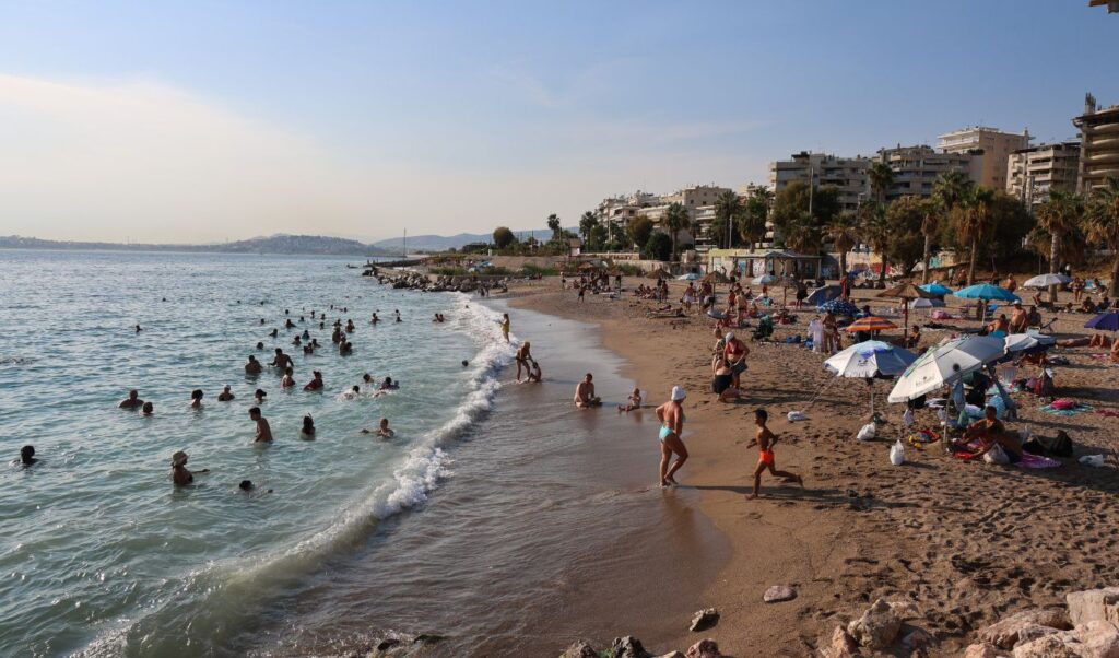
Although September is well underway, the weather continues to feel like summer, with above-average temperatures and sunshine across most of the country. Starting today, Wednesday, September 9, localized instability is returning, while a more significant weather change is expected from next week.
As meteorologist Christina Rigou explains to parapolitika.gr, temperatures have begun to gradually ease from the extremely high values recorded in recent days — on Monday, September 7, western Greece saw highs reaching as much as 39°C.
“We’re slowly seeing temperatures drop a little, though they remain above normal for this time of year. Still, they are lower compared to the beginning of the week,” she notes.
Weather: Instability returns — where to expect rain and thunderstorms
Today, Wednesday, the Etesian winds (meltemi) remain strong across the Aegean, reaching force 6 on the Beaufort scale. From midday and into the afternoon, instability will return to the mountainous regions of western Greece.
These areas can expect showers, rain bursts, and isolated thunderstorms. Across the rest of the country, however, conditions will remain decidedly summery, with sunshine and above-seasonal temperatures.
“In the rest of the country, the weather will be clear, sunny, and quite summer-like,” says Ms. Rigou. Temperatures in the range of 32–34°C are expected to hold broadly throughout the week.
Meltemi winds ease from Thursday — slight temperature rise over the weekend
From Thursday, September 10, the meltemi will weaken slightly, with winds reaching force 5 and locally up to force 6 in the Cyclades and Dodecanese islands.
Over the weekend, a further small rise in temperatures is expected, extending the summer-like conditions a little longer.
The weather pattern shifts next week
The picture looks set to change from Monday, September 14. According to Ms. Rigou, next week will take on a more distinctly autumnal character, as temperatures retreat toward levels more typical for this time of year.
“We’ll have quite a chill early in the morning and late at night, with milder temperatures at midday — barely reaching 30°C,” she points out.
At the same time, pressure systems are expected to influence the country from next week onward, bringing autumnal rainfall.
“Possibly the last week this summer-like of the season”
As Ms. Rigou clarifies, the current week may well be the last of the season to carry such strongly summer characteristics.
“We are going through an intensely summer-like week. It may also be the last one this summer-like of the season — and from Monday the picture changes, with milder, autumnal weather more in keeping with the time of year,” Ms. Rigou concludes.