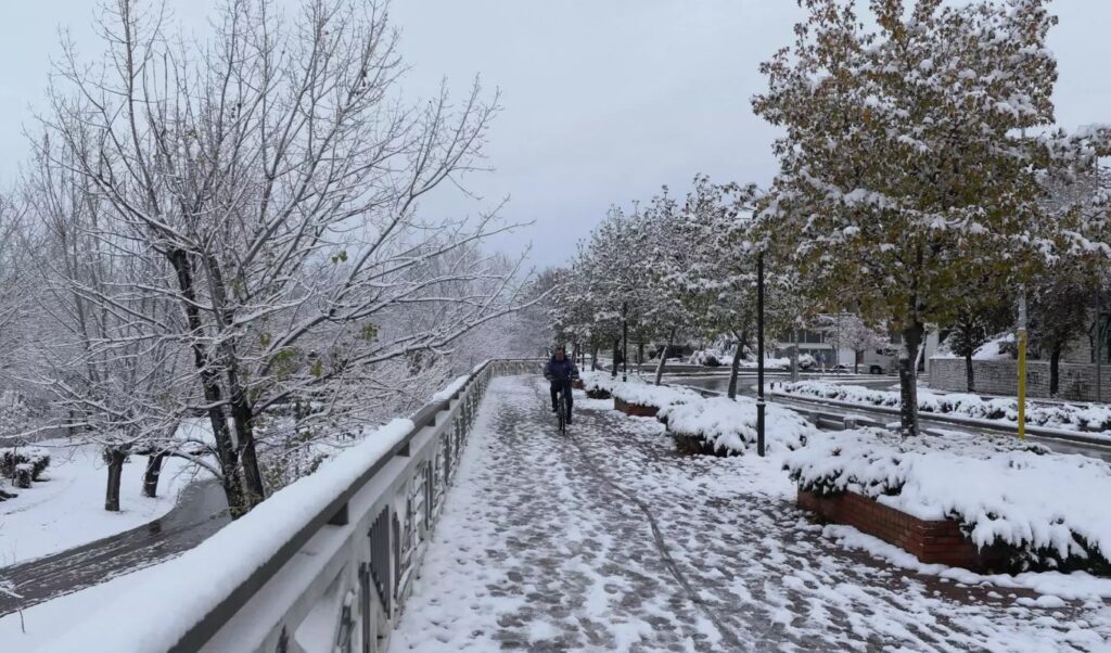
The weather on Saturday December 27 was characterized by particularly low temperatures in dozens of areas across the country, with frost phenomena prevailing in northern Greece as well as in the mountainous zones of the rest of the territory. Measurements recorded record low values that significantly affected residents’ daily lives.
Weather: Where temperatures plunged to -5.6°C, the “champion” region
The automatic meteorological station network of the National Observatory of Athens Meteo.gr recorded impressive weather data for the day. The lowest temperature reading was recorded at Lailia Serres, where the thermometer showed -5.6°C during the morning hours. This measurement represents the lowest recording for the specific 24-hour period across the entire mainland territory.
Frost at 53 meteorological stations
The low temperatures were not limited to just one location. A total of 53 meteorological stations in various regions recorded values below zero, confirming the extent of the cold front. Frost conditions prevailed mainly in the northern mainland areas, while similar phenomena were observed in the mountains of central and southern Greece. The color scale of the meteorological map clearly shows the geographical distribution of low temperatures. The mainland areas appear with intense colors indicating frozen conditions, while coastal regions maintained milder values. This visual representation makes it easy to understand the conditions that prevailed in different areas of the country.

Kolyda on New Year’s weather: What models show for cold and snow – The two scenarios
Data from three basic forecasting models for New Year’s weather is recorded and examined by Theodoros Kolyda, former head of the Hellenic National Meteorological Service. These are the ECMWF, ICON and GFS forecasting models, two of which agree that cold weather is coming but in mild form, without extreme phenomena. However, GFS persists and predicts more extensive snowfall, even at lower altitudes.
“ECMWF and ICON converge on a milder and more ‘contained’ scenario for the weather change. Both models keep the main body of the cold air mass further east, with low pressures remaining mainly in the Eastern Mediterranean and our country under marginal influence,” writes Theodoros Kolyda and explains: “In this solution, phenomena are limited, mainly located in the eastern and southeastern Aegean, while temperatures are wintry but without intense cold invasion or extensive snow in lowlands.”
“On the contrary, GFS insists on a more ‘heavy’ scenario, with deeper descent of cold masses towards the Balkans and Greece,” notes the experienced meteorologist and continues: “In this version, the field favors more extensive snowfall, lower temperatures at 850 hPa and longer duration of cold weather, especially for the northern and eastern parts of the country. It’s a more aggressive scenario, but also more isolated compared to the other two models.”
Full Kolyda post on New Year’s weather
ASSESSMENTS AND COMPARISONS
✅ECMWF and ICON converge on a milder and “contained” scenario for the weather change. Both models keep the main body of the cold air mass further east, with low pressures remaining mainly in the Eastern Mediterranean and our country under marginal influence. In this solution, phenomena are limited, mainly located in the eastern and southeastern Aegean, while temperatures are wintry but without intense cold invasion or extensive snow in lowlands.
✅On the contrary, GFS insists on a more “heavy” scenario, with deeper descent of cold masses towards the Balkans and Greece. In this version, the field favors more extensive snowfall, lower temperatures at 850 hPa and longer duration of cold weather, especially for the northern and eastern parts of the country. It’s a more aggressive scenario, but also more isolated compared to the other two models.
✅Therefore, at this moment the scale tips towards the ECMWF–ICON solution, which shows more consistent and less extreme development. GFS cannot be ignored, but appears to represent the “cold extreme” of the spectrum, which increases uncertainty but doesn’t make it the most likely scenario. As often happens during year changes, small shifts in upper geodynamic fields will determine whether simply wintry weather will prevail or if we’ll finally see a more dynamic, wintry interlude.
✅ We need another 2-3 days to see a better operational assessment for New Year’s. Happy New Year