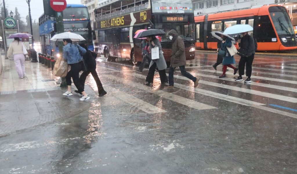
A new round of rainfall has been hitting Attica since Monday afternoon, just hours after the severe passage of severe weather that had caused problems in several areas of the Athens basin. The phenomena appear locally intense, showing that the bad weather has not yet subsided. According to available meteorological data, increased rainfall levels are being recorded in a short period of time, while strong or temporarily torrential downpours cannot be ruled out at intervals.

Greek weather service: Emergency weather bulletin updated
According to the updated emergency weather deterioration bulletin from the Greek National Meteorological Service, the wave of severe weather will affect the country until Tuesday afternoon. The areas where phenomena will be most intense are:
• Eastern Macedonia, Central Macedonia and Thrace until late Monday night
• Thessaloniki until this afternoon
• The Eastern Aegean islands until Tuesday morning
• The Dodecanese from early afternoon until Tuesday afternoon
• Crete until Tuesday noon
• Attica until noon today Monday 26/1
“No weather deterioration expected in Attica”, says meteorologist Giorgos Tsatrafyllias
The severe weather wave affected the wider Attica region on Monday 26/1, causing new problems which were however limited to fallen trees, power outages and small-scale flooding in areas that had been hit by the recent severe weather wave. Meteorologist Giorgos Tsatrafyllias, in a post, mentioned that the weather in the Attica region has improved and that no new deterioration is expected. He also notes that a new cycle of rain is forecast from Thursday.