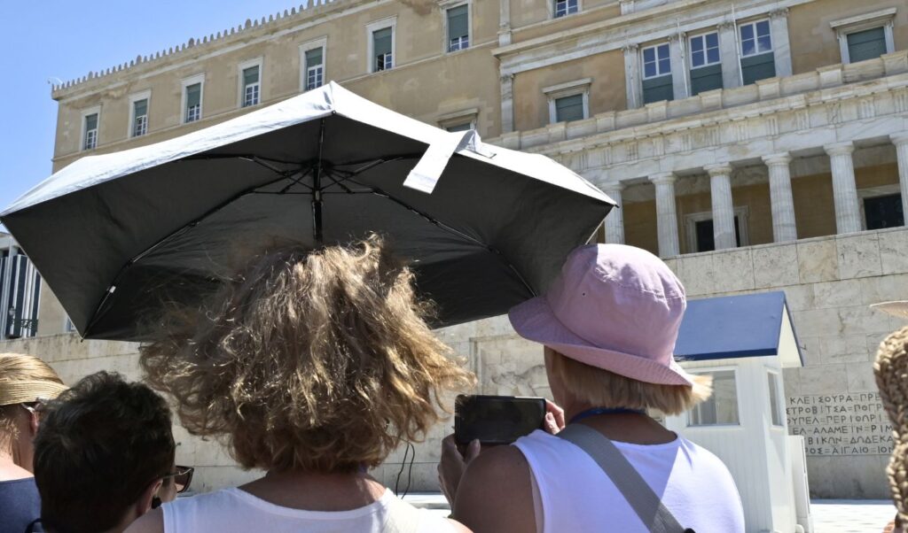
ERT meteorologist Olga Papavgoulis painted a clear picture of what to expect from the weather in the coming days during her appearance on Parapolitika 90.1 and the morning show “Morning Departure” with Eri Panagou. She noted that temperatures will begin to rise from the weekend onward — while also taking the opportunity to explain why Western European countries struggle so much with heat that Greeks consider entirely routine.
Read also: Spain on “red alert” as extreme heatwave pushes temperatures to 42°C
A normal Greek summer while Western Europe bakes
Papavgoulis opened by noting that “we are going through a very normal summer period in general — and a normal week — with no particular extremes,” in stark contrast to Western and Central Europe, which, as she put it, are “experiencing one heatwave after another.”
How high will temperatures climb this weekend?
When asked whether reports of rising temperatures toward the end of the week were accurate, Papavgoulis confirmed that the mercury will begin climbing gradually from the weekend, with Sunday shaping up to be the hottest day. She clarified that “locally, eastern parts of the country will approach 37 to 38 degrees Celsius,” while heat-vulnerable regions such as the plains of Thessaly and Eastern Sterea Hellas “could even hit 39 degrees Celsius.” For Attica in particular, she forecast temperatures of around 36 to 37 degrees on Sunday — with the following week looking even warmer.
How long will the heat last?
Despite the locally expected highs of 39°C, Papavgoulis was clear: “I would not call this a heatwave under any circumstances.” She explained that, according to the National Meteorological Service, officially classifying a period as a heatwave requires temperatures at or above 39°C across a wide geographic area of the country, calm or very weak winds, overnight lows that do not drop below 26°C, and the persistence of these conditions for at least three consecutive days. She noted that the current forecast — subject to change — places the “temperature ceiling” at around 38 to 39 degrees from the 5th of the month onward, an intensity that does not meet the official heatwave criteria.
Why does Western Europe struggle so much with heatwaves?
Asked why countries such as France and the United Kingdom find high temperatures so difficult to cope with, Papavgoulis explained that these are regions at more northerly latitudes that “have no air conditioning” and are simply not accustomed to such conditions — unlike countries closer to Africa, such as Spain, Italy, and Crete. She pointed out that “their buildings are dark-colored, because they are typically designed to absorb and store solar heat to keep warm” — a feature that makes them particularly dysfunctional during a heatwave. She added that these countries are now also experiencing tropical nights, where temperatures never drop low enough to allow the body “to recover from the difficult conditions it endures during the day” — describing what they went through, especially during the major May heatwave, as “unprecedented.”
What to expect on Thursday
Papavgoulis warned that Thursday will bring a temporary bout of instability, as a cold front pushing down from the north will trigger rain and thunderstorms. She said the phenomena will begin early in the morning over Eastern Macedonia, Thrace, and the Northern Aegean — with heavy showers — before spreading to Eastern Thessaly, Euboea, and Eastern Sterea Hellas. Showers and thunderstorms are also expected in mountainous areas across the country, as well as in the northwestern parts of the Attica region around midday. Due to this instability, Thursday’s temperatures will range between 32 and 34 degrees Celsius before the upward trend resumes in the days that follow.
Wrapping up, Papavgoulis noted that the temperature “ceiling” will become clearer as the days draw closer, though for now, she suggested, “it looks like we’ve got it locked in.”