A new dimension is being added to Greek-Turkish disputes over maritime zones following Ankara’s decision to formally establish two marine parks in the Northern Aegean and Eastern Mediterranean. The two zones were defined through Presidential Decrees signed by Recep Tayyip Erdogan and published in the Turkish Official Gazette. The choice of locations carries significant geopolitical weight, as they are not confined to Turkish territorial waters. Instead, they extend into maritime areas where Greece and Turkey hold opposing positions regarding continental shelf rights and the entitlements of islands.
The two marine parks
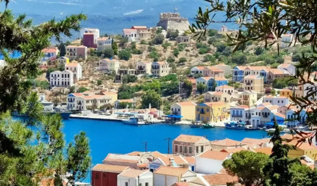
The first marine park is located in the Northern Aegean, in the area between Lemnos and Samothrace. The second covers a large expanse of the Eastern Mediterranean, in the area between Rhodes and Kastellorizo. These specific areas had already been flagged by Ankara as early as the summer of 2025, following Greece’s announcement of plans to establish marine parks in the Ionian Sea and the Southern Aegean. Turkey’s latest move thus brings the issue of maritime delimitation and the two countries’ conflicting positions back to the forefront. At the same time, the formal establishment of these parks adds yet another official administrative imprint of the Turkish side over the disputed maritime areas.


In the case of the Northern Aegean, the Turkish demarcation extends west of Imbros and Tenedos, reaching into the sea area between Lemnos and Samothrace. Under the Greek position, this is a zone of undelimited Greek continental shelf, with part of it falling within the potential boundaries that would result from an extension of Greek territorial waters to 12 nautical miles.
Even more significant is the demarcation in the Eastern Mediterranean. The Turkish park extends eastward from Rhodes toward Kastellorizo, effectively leaving the Greek island cluster with only the existing 6-nautical-mile territorial waters zone. This geographical layout reflects Turkey’s longstanding position that Greek islands should not be granted full effect in the delimitation of the continental shelf and Exclusive Economic Zone.
The maps accompanying the Turkish decrees thus use an environmental instrument to project Ankara’s broader vision for maritime zones in the Aegean and Eastern Mediterranean. Turkey favors drawing a median line based primarily on mainland coastlines — a position that lies at the very heart of the long-running Greek-Turkish dispute over the continental shelf.
This decision carries additional significance because the Turkish marine parks reportedly overlap with portions of Greece’s Maritime Spatial Plan, which was presented in 2025. The Greek side has used as external boundaries in undelimited areas the median line established under Law 4001/2011, pending a relevant agreement with neighboring countries.
Athens has already moved forward with the formal establishment of marine parks in the Ionian Sea and the Southern Cyclades. Ankara had reacted to these Greek moves both through statements from the Turkish Foreign Ministry and through diplomatic interventions at the United Nations, linking the issue to broader disagreements surrounding Greece’s Maritime Spatial Plan.
Similar reactions had previously arisen over the offshore blocks south of Crete awarded for hydrocarbon exploration, as their outer boundaries also rest on the logic of Law 4001/2011.
The next critical step is expected in the autumn, when, according to current information, Turkey plans to press ahead with the institutional framework tied to the “Blue Homeland” doctrine. Should this occur, the dispute over marine parks is likely to represent just one more chapter in the broader confrontation over maritime zone delimitation in the Aegean and Eastern Mediterranean.
See here the presidential decree on the marine park in the area between Fethiye and Kas