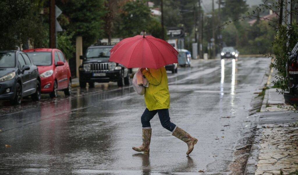
A new temporary deterioration in weather conditions is expected across Greece on Friday, October 16, bringing rain and scattered thunderstorms to several regions.
According to the National Observatory of Athens, the most intense weather phenomena will affect the eastern regions, the south, and the Aegean Sea. Temporary snowfall is expected in mountainous inland areas, while temperatures will drop temporarily. Locally strong winds will blow across the Aegean and the Northern Ionian Sea.
In more detail, initially scattered cloud cover will quickly thicken across the north, east, and Aegean regions. Rainfall will gradually develop over Eastern Macedonia, Thrace, Chalkidiki, the Sporades islands, and Euboea. After midday, rain will spread across many areas of central, eastern, and southern mainland Greece, as well as Euboea. Thunderstorms will occur mainly in Chalkidiki, the Sporades, and Euboea. By evening, the Cyclades will be affected, while overnight into Saturday, the Dodecanese islands and Crete will also see deteriorating conditions. Temporary snowfall is expected in mountainous inland areas.
Temperatures will range as follows: in Western Macedonia from 3°C to 14–15°C; in the rest of Macedonia and Thrace from 6°C to 17–19°C; in the rest of Western Greece from 8°C to 19–21°C; in Thessaly from 7°C to 17–19°C; in the remaining mainland regions from 7°C to 19–21°C; in the Ionian Islands from 10°C to 20–22°C; in the northern and northeastern Aegean islands from 10°C to 17–19°C; and in the remaining Aegean island regions and Crete from 11°C to 19–21°C.
Winds in the Aegean will blow from northerly directions at force 4–5 Beaufort, with locally strong gusts reaching force 6. In the Ionian Sea, north-northwesterly winds will blow at force 4–5 Beaufort, with locally strong conditions of force 6 in the northern seas.
In Attica, expect light cloud cover that will gradually increase, bringing local showers from the afternoon onward. Overnight into Saturday, snowfall is possible on the upper elevations of Mount Parnitha. Winds will blow from northeasterly directions at force 3–4 Beaufort, with temporary local gusts of up to force 5. Temperatures will range from 12°C to 17–18°C.
In the prefecture and city of Thessaloniki, periods of increased cloud cover are expected, with a chance of temporary showers. Winds will blow from variable directions at up to force 4 Beaufort. Temperatures in central Thessaloniki will range from 11°C to 18°C.
Hellenic National Meteorological Service (EMY) forecast
The Hellenic National Meteorological Service (EMY) reports cloudy skies with rain initially over the northeastern regions, Euboea, the Sporades, and possibly the southern Peloponnese, extending to the remaining mainland areas by midday. Late in the evening, the weather system will shift, bringing thunderstorms to the eastern parts of Thessaly and Euboea. The rest of the country will see limited cloud cover, temporarily increasing over the Cyclades, where local rain showers are expected in the evening. Light snowfall will occur in the western and northern mountainous regions.
EMY also notes that winds will blow from northerly directions at force 4 to 6 Beaufort, gradually reaching force 7 in the northern Ionian Sea. Temperatures will drop, reaching 17–19°C across the northern mainland, 20–22°C in the rest of the country, and 23–24°C in western regions, Crete, and the Dodecanese.