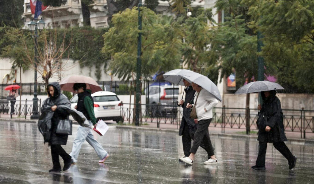
The weather scenario is changing across much of Greece over the next two days, as heavy rain and storms are expected to appear from Wednesday evening (26/3), starting from the western parts of the country, according to the forecast by meteorologist George Tsatrafyllias for the coming days. Today’s sunshine will gradually give way to more autumn-like conditions, with phenomena initially manifesting in western areas, accompanied by thunderstorms and snowfall in mountainous regions. The meteorologist also reports that stormy southwestern winds will prevail and temperatures will drop.
Read more: Weather: When the Cold Front Ends – Short Sleeves After Easter Barbecue, Meteorologists Predict
The cause of this change is the low-pressure system DEBORAH, which has already formed north of the Adriatic Sea, whose cold front will sweep across our country from west to east.
Three zones where increased rainfall will occur
There are three zones of relative risk where most phenomena will occur with increased rainfall amounts:
Zone 1: Western Greece (Friday dawn)
Zone 2: Thrace, northern and eastern Aegean (Saturday afternoon – Sunday morning)
Zone 3: Crete, southern Cyclades, Dodecanese (Saturday – Sunday morning)
For Attica, the news is slightly better as it will only be affected on Friday afternoon to evening, but without any severe phenomena.
If the trend of forecasting models is confirmed, from Wednesday April 1st, severe weather with winter characteristics appears likely.