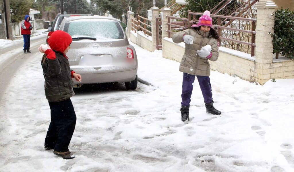
A new wave of severe weather is hitting the country, which started from the west with rain and thunderstorms, while snow is simultaneously falling in mountainous areas. From tomorrow, Sunday 11/01, it will begin to descend in altitude, reaching even Aegean Sea islands by Monday 12/01, where we are very likely to see snow covering the ground right next to the waves, according to OPEN meteorologist Klearchos Marousakis.
Weather: Temperature “plunge” from tomorrow
Temperature will show a significant drop from Sunday 11/01, according to the latest forecast data from the National Observatory of Athens / meteo.gr.
The drop will be felt first in northern regions and then in the rest of the country, and in many areas it will exceed 10°C. Both Monday 12/01 and Tuesday January 13, temperature will remain at low levels and frost is expected in the morning of these two days (temperatures below 0°C even in plains of central and northern mainland areas).


Klearchos Marousakis: How likely is snow in Attica
As Klearchos Marousakis wrote in his post, regarding Attica region, according to our forecasting system, probabilities appear close to 75% for significant and widespread snowfall, while there is a 25% probability for milder and limited snowfall.
These percentages emerge from the four models that compose our forecasting system and draw their data from the forecasting centers of America, Europe, Germany as well as our global forecasting system “Heracles”.
Among these forecasting centers, the European one gives us the most limited snow phenomena, while the most extensive ones are given by the American and the global forecasting system “Heracles”. Somewhere in the middle of all the above is the German forecasting center.
Following are maps from our forecasting system regarding the course of snowfall, temperature diagram for the Athens area so we can have a picture of the temperature course, and finally the summary table with which we concluded the probabilities for significant or not snowfall in Attica region.
Our personal opinion is that the Sunday-Monday period hides many “white” surprises since a secondary disturbance appears to be forming in the sea area between eastern Peloponnese and southern Attica that could turn forecasts upside down.
It’s not coincidental that we characterized this severe weather as a POLAR FLARE!


