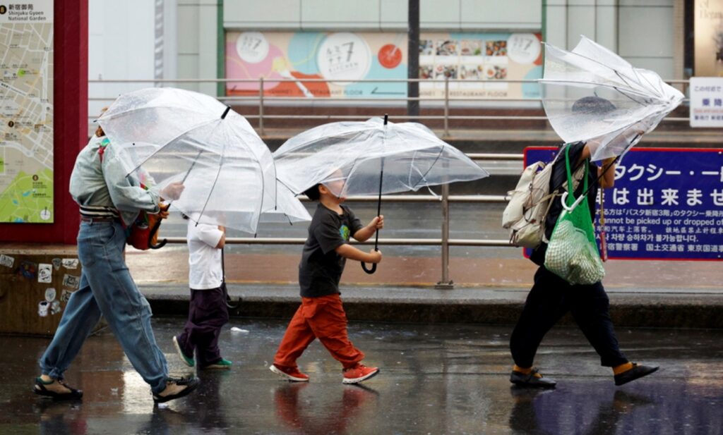
Alarm bells are ringing across Japan as powerful Typhoon Dujuan batters the country’s eastern regions, unleashing fierce winds and torrential rainfall while authorities issue urgent warnings of flooding and landslides. More than 1.67 million people have been ordered to evacuate, as the Japan Meteorological Agency warns of an “imminent threat to life.”
Japan: Evacuation orders issued for 1,674,084 people
On the morning of Monday, September 21, millions of residents were urged to leave their homes as the typhoon bore down on the region. According to Japan’s Ministry of Internal Affairs, evacuation orders have been issued to 1,674,084 people across Ibaraki, Chiba, Tokyo, Kanagawa, and Shizuoka prefectures. The country’s Meteorological Agency warned that “it is extremely likely that some form of disaster has already occurred in areas prone to landslides,” urging residents to take immediate action for their own safety and stressing that “there is an imminent danger to life.”
“There are areas in the northern Izu Islands, Chiba Prefecture, Kanagawa Prefecture, and Shizuoka Prefecture where conditions correspond to Alert Level 4,” said chief meteorologist Takuya Hosomi at a press conference. “Please check the disaster risk in the municipality where you are currently located and make sure to evacuate before the municipality issues a Level 4 evacuation order.”
WATCH: This Japan Airlines 737-800 from Tokyo Haneda to Osaka Itami JL117 getting hammered by turbulence during Typhoon Dujuan. Those wings are supposed to flex. A rigid wing would transfer far more of the turbulence loads into the fuselage. And this is nowhere near their limit. During certification testing, wings are loaded to extreme levels—well beyond what they’re expected to experience in normal service. https://t.co/mZ5AsrBvHR
— Turbine Traveller (@Turbinetraveler) September 21, 2026
Wind gusts reaching up to 194 km/h
According to Takuya Hosomi, the typhoon “intensified more than expected” as its movement slowed slightly over the waters off the Izu Islands, where sea surface temperatures are unusually high. Official data shows the storm is generating sustained winds of approximately 130 km/h, with gusts reaching up to 194 km/h. In central Tokyo, winds are expected to peak at around 75 km/h. The powerful winds and heavy rainfall have created highly dangerous conditions, with warnings focused particularly on areas vulnerable to flooding and landslides.
Up to 250 mm of rainfall expected in the Kanto region
Rain is expected to remain heavy and persistent for the remainder of Monday. In the Kanto region, which encompasses Tokyo, total rainfall accumulations could reach up to 250 mm. This volume of rainfall is considered sufficient to trigger both flooding and landslides, with authorities urging residents to follow official guidance and evacuate high-risk areas without delay.
Powerful Typhoon Dujuan is approaching eastern #Japan, bringing heavy rain and strong winds and disrupting transport during the five-day holiday period. https://t.co/6fJJ2aVSjI #Typhoon #Dujuan #JapanWeather #Storm #Tokyo #Weather
— Kazinform (@kazinform_eng) September 21, 2026