A gradual retreat of the heatwave is expected from today, Monday (28/7), starting from western Greece and from tomorrow in the remaining areas. However, for a few more hours, heatwave conditions are expected locally in central and eastern Greece, according to the weather forecast from the Hellenic National Meteorological Service.
Weather: Gradual retreat of the heatwave
In his forecast, meteorologist Sakis Arnaoutoglou mentions rain on Tuesday 29/7 in Epirus, northern Ionian and western Central Greece, on Wednesday 30/7 in eastern Macedonia and Thrace, and on Thursday 31/7 even in the mountainous areas of Attica.
Meteorologist Giorgos Tsatrafyllias speaks of normal July heat from Tuesday and for the entire week in his post, while limited instability returns and notes that long-term forecasts from 7 centers give signals for a warmer August compared to normal levels, with a probability above 70%.
Kolydas: Heatwave ends on Tuesday
Theodoros Kolydas also “sees” the end of the heatwave on Tuesday. The de-escalation began on Saturday from the west and is expected to gradually extend to the entire country by Tuesday. Finally, local rains are expected in the Ionian and western mainland areas, according to the Star meteorologist.
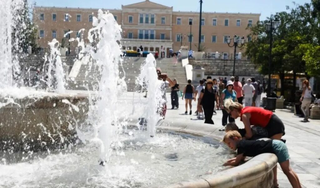
Maximum temperature reached 42°C on Sunday 27/07
Heatwave conditions prevailed on Sunday 27/07 with temperatures reaching 40-42 degrees in several areas. According to the automatic meteorological stations network of the National Observatory of Athens / meteo.gr, the highest temperature values in the country were recorded in the Peloponnese and Eastern Central Greece.
The following map shows the distribution of maximum temperature in the country as well as the 8 stations with the highest maximums. The white circles indicate stations where the maximum temperature exceeded 37°C. As shown in this image, temperature exceeded 37°C at 196 out of 544 active stations, 40°C at 39 stations, and 42°C at 3 stations. The country’s average maximum temperature was 35.6°C.
Specifically for Attica region and Athens city, it’s worth noting that maximum temperature exceeded 39-40°C at SKA (40.0°C), Zefyri (39.9°C) and Salamina (39.8°C). Finally, a significant drop of up to 10°C was observed in Western Greece compared to the previous day (26/07).

Today’s weather
Heatwave conditions are expected locally in central and eastern Greece.
Temperature will range in Western Macedonia from 16 to 33 degrees, in the rest of Macedonia and Thrace from 22 to 36-37 and locally in Thrace up to 39 degrees, in Thessaly from 22 to 38-39 and locally 40-41 degrees, in Epirus from 20 to 31 degrees, in the rest of Western Greece from 22 to 33, in the remaining mainland areas from 25 to 35-37 and locally 38 degrees, in the Ionian Islands from 21 to 31, in the Aegean islands and Crete from 22 to 33-34 degrees, while in the Eastern Aegean islands and Crete maximums will locally reach 38 degrees Celsius.
Winds in the Northern Aegean will blow from western directions with intensities 4-5, temporarily turning to southerly during midday hours with the same intensities. Western winds with intensities 5-6 and locally 7 Beaufort will blow in the Southern Aegean. In the Ionian, initially northwestern winds with intensities 5-6 Beaufort will blow, but from midday they will turn westerly and show slight weakening. Enhanced western current with intensities up to 6 Beaufort will prevail in the Corinthian Gulf.
In Attica region and Athens city we expect sunshine and heat. Winds will blow from west-northwest with intensities up to 5 Beaufort and locally in the west and open Saronic Gulf 6 Beaufort. Temperature will range from 28 to 36-37 and locally 38 degrees.
In Thessaloniki we expect sunshine. Winds will blow mainly from northwestern directions with intensities 3-5 Beaufort. Temperature will range from 27 to 35-36 degrees.
Weather on Tuesday, July 29
In the Ionian and western mainland areas, clouds from morning hours with local rain or showers. Gradually clouds will develop in the remaining central and northern mainland areas and temporary showers are likely to occur during afternoon hours in western and northern areas. In the rest of the country weather will be generally clear.
Winds will blow from western directions 3 to 5 and in southern seas locally 6 Beaufort, while in northeastern areas they will blow from southern directions up to 4 Beaufort. Temperature will show a slight further drop and in eastern mainland areas 35 to 37 degrees Celsius.
Weather on Wednesday, July 30
Generally clear weather in most of the country, with local clouds from late morning hours in northern areas and from midday in the remaining central and eastern mainland areas, with local rain or showers mainly in northern areas.
Winds will blow west-northwest 3 to 5 and locally in western and southern areas 6 Beaufort. Temperature will not show significant change.
Weather on Thursday, July 31
Unstable weather with rain and scattered thunderstorms, possibly locally strong, initially in northern areas and gradually in central mainland areas, as well as in the Sporades and Evia. During evening hours phenomena will persist in eastern Thessaly, Macedonia and Thrace. In the rest of the country weather will be generally clear. Visibility will be locally limited during morning hours in the Ionian and western mainland areas, mainly mountainous.
Winds will blow from northern directions 4 to 5 and locally in western and southern seas 6 and temporarily 7 Beaufort. Temperature will show a slight drop.
Weather on Friday, August 1
Initially unstable weather with local rain and possibly isolated thunderstorms in the Sporades and gradually during midday-afternoon hours in mainland areas. Improvement is expected from evening hours. In the rest of the country weather will be generally clear. Visibility will be locally limited during morning hours in the Ionian and western mainland areas, mainly mountainous.
Winds will blow from northern directions 4 to 5 and locally in seas 6 Beaufort. Temperature will not show significant change.