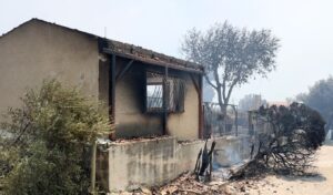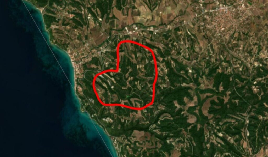
According to yesterday’s (14/08) recording by the European Copernicus satellite system, the perimeter of the burned area from the major wildfire that broke out on Thursday afternoon (13/08) in Siviri, Chalkidiki, amounts to 2,480 stremmata. More specifically, according to the satellite imagery of the fire, the total perimeter of the burned area is 248 hectares, which translates to 2,480 stremmata.
It is noted that the EU’s Copernicus service was activated by the Emergency Response Planning Directorate of the General Secretariat for Civil Protection, upon the order of the Secretary General for Civil Protection, Nikos Papaeustathiou, just a few hours after the fire broke out in Siviri — with ignition time estimated at around 14:00 on Thursday.
Siviri Chalkidiki wildfire: What the Copernicus service reports
The purpose of the activation was to produce mapping products and data for areas within the Municipality of Kassandra, in order to support the work of the agencies involved in emergency response and in managing the consequences of the incident.
The request was accepted by the European Union, and yesterday afternoon satellite images were released capturing the perimeter of the burned area.
The data and maps from the Copernicus Emergency Management Service/Mapping will be made immediately available, free of charge, by the Emergency Response Planning Directorate of the General Secretariat for Civil Protection to all agencies involved, in order to assist them in managing their operations.
Fire contained
It is noted that the fire has been contained and without an active front since yesterday afternoon. However, 110 firefighters with 50 vehicles remain on the ground and continue operations to address scattered hotspots and smoke-emitting points, as well as to prevent any potential re-ignition.