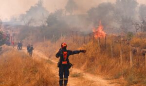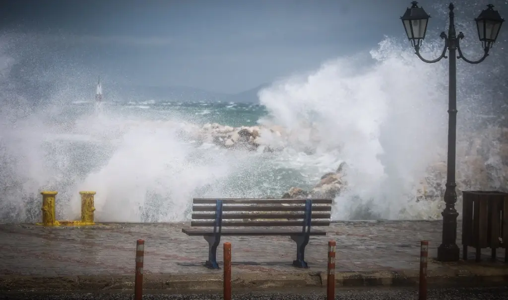
Strong winds will remain at high levels across the Aegean Sea over the coming days, according to a new analysis by meteorologist Thodoris Kolydas, who presents an innovative approach to wind forecasting. During a period when wildfires continue to test many regions of the country, wind developments are taking on particular importance for both Civil Protection authorities and maritime travel.
A new wind forecasting method by Thodoris Kolydas
In a recent post, Thodoris Kolydas introduces a new method for visualizing ensemble wind forecasts, which, as he explains, provides more complete and meaningful meteorological information. As he states: “This new method of presenting ensemble wind forecasts represents an important step toward more useful and substantive weather updates. Rather than limiting ourselves to a single forecast value, we examine multiple possible scenarios and map the probability of wind exceeding critical thresholds, such as Beaufort 5, 6, or 7.”
According to Kolydas, this approach allows the public to understand not only the expected wind intensity but also the degree of certainty behind the forecast. “This way, the traveler, the sailor, and every citizen can better understand not just how strong the wind will be, but also how confident we are in that estimate.”
He also notes that this method is particularly useful for planning sea travel, as it highlights in advance the areas and time windows where the most difficult conditions are expected.
The areas most affected
According to the forecasts presented by the meteorologist, the Aegean Sea will continue to bear the strongest and most persistent winds over the next ten days. The Meltemi winds will primarily affect the Ikarian Sea, the Carpathian Sea, the Andros–Tinos strait, and Cape Kafirefs, where winds will frequently reach Beaufort 5 to 6, with gusts in places expected to be even stronger.
In the Northern and Central Aegean, a new intensification of winds is expected mainly during the second half of the ten-day period — specifically from August 9 to 12 — with particular caution required around Cape Kafirefs and the Andros–Tinos strait due to local wind acceleration effects.
In contrast, conditions in the Ionian Sea are forecast to be noticeably milder. In the Northern Ionian, a tendency for strengthening winds is emerging from around August 8 to 9, while the Southern Ionian is expected to see the weakest and most stable winds of all the areas under review. Thodoris Kolydas’s new analysis comes at a particularly critical time, as strong winds are a key factor in the spread of wildfires and a major consideration for the safety of maritime transport and travelers moving through the Aegean and Ionian seas.