From tonight, severe weather phenomena are expected to strike even the Attica region. According to Mega meteorologist Yannis Kallianos, who spoke to parapolitika.gr, rainfall is expected to intensify overnight across most of the country except the Dodecanese region.
In Attica, the severe thunderstorms are expected to develop during the night, according to Mr. Kallianos’ forecast. The Ionian Islands, mainland areas, and the Aegean will be significantly affected by the intense phenomena.
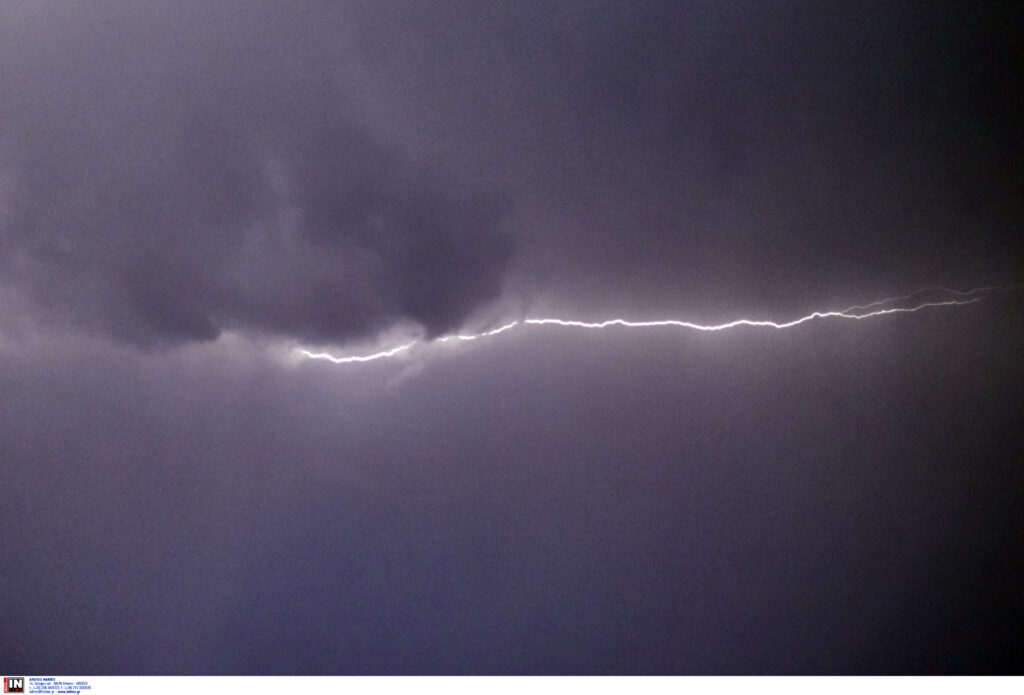
Weather: How the severe weather will develop – Yannis Kallianos forecast
Regarding the evolution of the severe weather during the 48-hour period, the Mega meteorologist predicts that Wednesday will be milder, with complete weakening of the phenomena expected on Thursday.
The areas that will be affected tomorrow by the intense phenomena will mainly be eastern Thessaly, Evia, the Sporades, the Peloponnese, eastern Central Greece, the western Cyclades, and Crete.
Civil Protection: Recommendations ahead of severe weather
Specifically, in areas where intense rainfall, storms, or gale-force winds are forecast, the General Secretariat for Civil Protection advises citizens:
* To secure objects which, if swept away by severe weather phenomena, may cause damage or injuries.
* To ensure that gutters and drains of buildings are not blocked and function normally.
* To avoid crossing streams and torrents, on foot or by vehicle, during storms and rainfall, and for several hours after their end. Special attention is needed at road network points where the road crosses torrents without a bridge.
* To avoid outdoor work and activities in marine and coastal areas during severe weather phenomena (risk from lightning strikes).
* To take immediate shelter during hailstorms. Take refuge in a building or car and do not leave the safe space until certain the storm has passed. Hailstorms can be very dangerous for animals too.
* To avoid passing under large trees, under hanging signs and generally areas where light objects (e.g., flower pots, broken glass, etc.) may detach and fall to the ground (e.g., under balconies).
* To faithfully follow instructions from local authorities, such as Traffic Police, etc.
In areas experiencing intense lightning activity:
If you are at home
* Do not hold electrical appliances or phones as lightning can pass through cables. Disconnect television sets from antennas and electrical power supply.
* Avoid touching plumbing pipes (kitchen, bathroom) as they are good electrical conductors.
If you are in a car
* Pull over to the roadside away from trees that might fall on it.
* Stay inside and turn on hazard lights until the storm subsides.
* Close windows and do not touch metal objects.
* Avoid flooded roads.
If you are outdoors
* Take shelter in a building or car, otherwise sit immediately on the ground without lying down.
* Take shelter under solid branches of low trees if you are in a forest.
* Never take shelter under a tall tree in open space.
* Avoid low-lying areas due to flood risk.
* Do not stand near pylons, power transmission lines, telephone lines, and fences.
* Do not approach metal objects (e.g., cars, bicycles, camping equipment, etc.).
* Stay away from rivers, lakes, or other bodies of water.
* If you are in the sea, get out immediately.
* If you are isolated in a flat area and feel your hair standing up (indicating lightning will strike soon), crouch deeply with your head between your legs (to minimize your body surface and ground contact) while throwing away any metal objects you carry.
The new updated weather bulletin from EMY
It should be noted that according to the updated Emergency Weather Deterioration Bulletin (EWDB) issued today by the National Meteorological Service (EMY), locally strong rains and thunderstorms are forecast from Tuesday afternoon (04-11-2025) until Wednesday evening (05-11-2025) in areas of eastern mainland Greece and the northwestern Aegean.
Citizens can stay informed daily about the development of extreme weather phenomena through EMY’s regular weather bulletins and on EMY’s website at www.emy.gr, (www.oldportal.emy.gr).