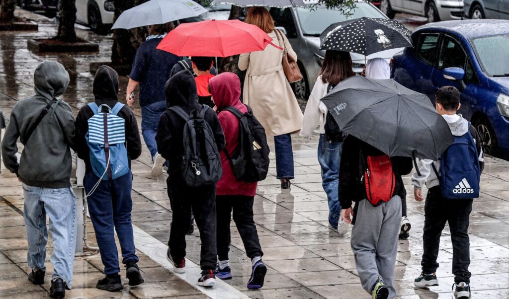
A new wave of severe weather is on its way, expected to impact several regions of Greece in early November, bringing heavy rainfall, localised thunderstorms and a significant drop in temperatures.
Sunday and Monday set to be the most difficult days
Saturday, October 31 is forecast to bring increased cloud cover and scattered rainfall, with brief spells of improvement. However, conditions are expected to deteriorate more noticeably on Sunday, November 1 and Monday, November 2, as a low-pressure system approaching from Italy may trigger intense weather phenomena.
According to the latest forecast models, the autumnal weather pattern will persist on Saturday, with heavy cloud cover and localised rainfall. Temperatures will remain relatively low for this time of year.
On Sunday, the low-pressure system from Italy will move closer to the country, significantly increasing the likelihood of heavy rainfall and localised thunderstorms affecting a large portion of Greece.
On Monday, more intense weather phenomena may emerge, including heavy rain, thunderstorms and strong winds across open seas. Temperatures are expected to fall further, particularly in the western, central and northern regions of the country.
Forecast for the days ahead
For Tuesday, November 3, as well as Wednesday and Thursday, the forecast remains less clear. Localised rainfall cannot be ruled out, though the trajectory of the low-pressure system is expected to determine the intensity and extent of the weather events.