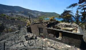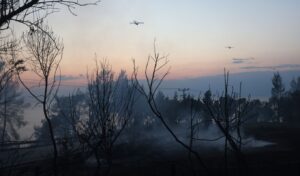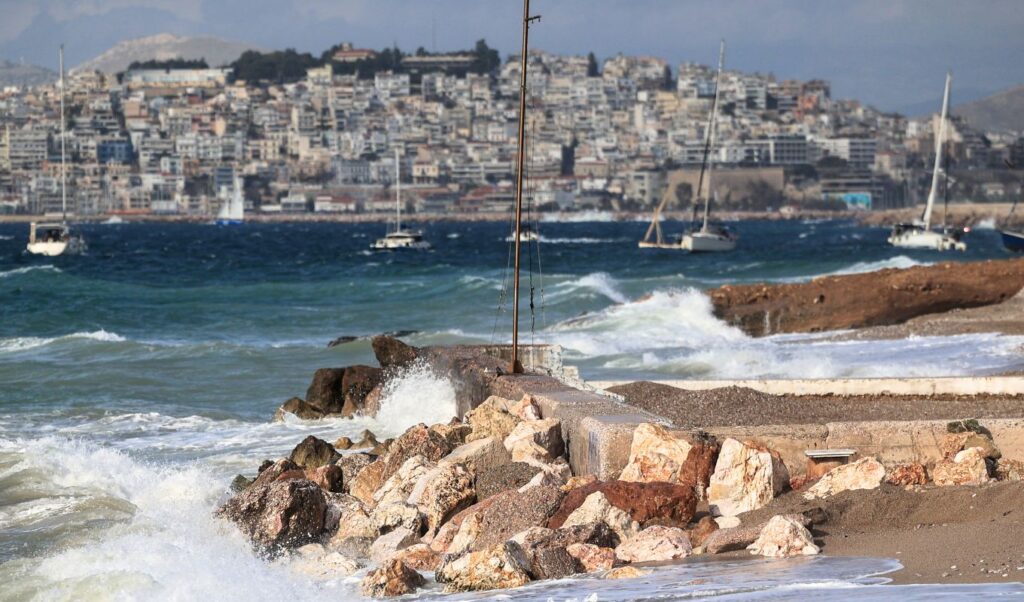
Gale-force winds and a slight drop in temperatures are set to define the weather conditions for Assumption Day in Greece. Despite a marginal improvement in conditions, firefighting forces will remain on heightened alert on Saturday (15/08), with the country placed on “orange” status according to the fire risk forecast map, as a very high wildfire risk has been declared across 10 regions.
Assumption Day: Which areas face very high wildfire risk
According to the Fire Risk Forecast Map issued by the Ministry of Climate Crisis and Civil Protection, a very high wildfire risk (risk category 4) has been declared for the following areas:
- Region of Attica (including the island of Kythira)
- Region of Peloponnese (Regional Units of Corinthia, Argolis, Laconia)
- Region of Western Greece (Regional Units of Achaia, Ilia)
- Region of Central Greece (Regional Units of Boeotia, Phthiotis, Euboea including the island of Skyros)
- Region of Thessaly (Regional Unit of Sporades)
- Region of North Aegean
- Region of South Aegean
- Region of Crete
- Region of Central Macedonia (Regional Unit of Chalkidiki and Mount Athos)
- Region of Eastern Macedonia and Thrace (Regional Units of Kavala, Thassos, Xanthi, Rhodope, Evros including the island of Samothrace)

The General Secretariat for Civil Protection (civilprotection.gov.gr) has notified the relevant state services, as well as the regional and municipal authorities of the affected areas, to maintain heightened civil protection readiness in order to respond immediately to any wildfire incidents.
Citizens are also strongly advised to exercise extreme caution and avoid any outdoor activities that could accidentally cause a wildfire — such as burning dry grass and branches, using spark-producing machinery like angle grinders or welding equipment, using outdoor barbecues, smoking beehives, or discarding lit cigarettes. It is also a reminder that field burning is strictly prohibited during the fire season.
If citizens spot a wildfire, they are urged to immediately alert the Fire Service by calling 199.
Weather forecast for Assumption Day
According to the Hellenic National Meteorological Service (EMY) forecast for Saturday, August 15, limited cloud cover is expected, with temporary local increases, occasional showers or rain, and possibly isolated thunderstorms in western and central Macedonia, Thessaly, and over western mainland areas during midday and afternoon hours.
Winds will blow from northerly directions — force 4 to 5 in the west, force 5 to 7 in the east, and locally force 8 and possibly temporarily force 9 Beaufort in the Aegean.
Temperatures will see a further slight drop, mainly in the eastern parts of the country, reaching 26–30°C, and locally 32–34°C in the Ionian, western and southern mainland areas, southern Crete, the eastern Aegean islands, and the Dodecanese.
Gale-force winds persist: Where they will be strongest and when they will ease
On Friday (14/8), the Risk Assessment Committee convened again at the invitation of Secretary General for Civil Protection Nikos Papaefstathiou, in the presence of Minister for Climate Crisis and Civil Protection Evangelos Tournas, to address the gale-force winds affecting large parts of the country. The minister also reviewed the operational status of wildfires that broke out on Thursday (13/8), with particular focus on the fire in Siviri, in the Kassandra peninsula of Chalkidiki.
According to the Committee’s scientists, very strong to gale-force winds will persist on Saturday (15/8), mainly across the eastern and southern parts of the country.
Specifically:
- In Thrace, north to northeasterly winds of force 5 to 7 Beaufort are expected, with force 6 to 8 Beaufort across the islands of the northern and northeastern Aegean.
- In the eastern and southern Peloponnese, winds will reach force 5 to 7 Beaufort.
- In the Attica-Boeotia area and Euboea, northerly winds of force 6 to 7 Beaufort are forecast, locally reaching force 8 until the afternoon.
- In the central Aegean, winds will reach force 7 to 8 Beaufort, locally force 9 until the afternoon, while in the Cyclades they will blow at force 7 to 8, locally force 9 in the northern sections.
- In Crete, northerly winds will reach force 6 to 8 Beaufort, with gusts on the southern coast of the island expected to exceed 100 km/h.
- In Kasos and Karpathos, northwesterly winds will reach force 7 to 8 Beaufort.
- On Sunday, August 16, strong winds will initially persist in several areas — force 5 to 7 in Attica-Boeotia, force 6 to 8 in southern Euboea, and force 5 to 7, locally 8, in the Cyclades, Crete, Kasos, and Karpathos. A further easing of winds is expected from Sunday afternoon onward.
Sailing ban lifted at Rafina and Lavrio ports
The sailing ban from the ports of Rafina and Lavrio has been lifted as of 4:00 PM, with ferry companies making schedule modifications and additions in order to serve stranded passengers.
The gale-force winds sweeping across the Aegean disrupted ferry schedules since early morning, causing cancellations and changes — primarily from Rafina and Lavrio. Services from the port of Piraeus, however, are operating normally.
Following the lifting of the ban, the updated departure schedule from Rafina is as follows:
- At 16:00, the “Aikaterini P.” departs for Tinos and Mykonos, while at 16:15 the “Fast Ferries Andros” will also sail to Tinos and Mykonos.
- At 18:00, the “Superferry” departs for Andros; at 18:45 the “Andros Queen” sails to Tinos and Mykonos; and at 19:15 the “Andros King” heads to Andros.
- From Lavrio, at 16:00 the “Superstar” departs for Andros, Tinos, and Mykonos, while at the same time “Terra Jet 2” will sail to Tinos, Mykonos, and Paros.
- Additionally, at 1:00 AM on Saturday, August 15, the “Artemis” is scheduled to depart from Lavrio bound for Milos.
These changes and additional departures are part of efforts to ease congestion at the ports and accommodate passengers whose morning sailings were affected by the adverse weather conditions. Travelers are urged to contact their ferry companies, local port authorities, and travel agencies before heading to the ports in order to stay informed of any further changes or updates to scheduled services.