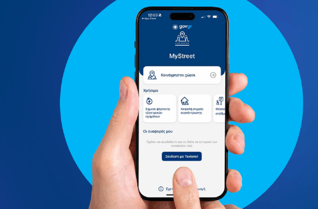
Aimed at enhancing transparency, participation, and active community engagement, the My Street app functions as a modern digital tool that brings citizens closer to managing and monitoring public spaces. Through interactive maps, users have access to important information about shared spaces, electric vehicle charging points, and safe assembly points in case of emergencies. Additionally, the app facilitates reporting violations, enabling citizens to actively participate in managing their city.
Read: Mitsotakis on MyStreet: “It will bring order to our streets and squares”
With over 5,700 registrations and more than 9,000 downloads, My Street emerges as a valuable tool for more modern, sustainable and participatory local governance.
My Street: How the app works – What features it provides
The MyStreet app is a modern digital tool that enables citizens to stay informed, actively participate, and contribute to maintaining legality and transparency in public spaces.
Through user-friendly interactive maps, users have access to important information and functions such as:
– Shared spaces: Display of active leases with details such as area, validity period, and boundaries of granted space.
– Electric vehicle charging points: Map with available chargers and details such as provider and power capacity.
– Safe assembly points: Display of designated shelter points in case of emergencies.
Shared spaces
In the “Shared spaces” option, users see an interactive map with all points where active leases exist.
They can navigate the map, zoom in or out, and easily locate the area of interest.
Once users find the desired point, they tap on the indicator (polygon) and a pop-up window appears with all information.
Users can get informed about the specific lease with data such as:
– the area
– the Municipality
– the validity period
– the boundaries of the granted space
– the use of the space
– the business name
If the problem is identified at a point where no registered lease exists, users can long-press on the map. Then a pop-up window appears with geolocation information for that specific point, allowing them to proceed with recording their observation accurately.
Reports
In the form, users select from the list the type of report based on the violation they have identified (e.g., exceeding table seating limits, blocking accessibility for disabled persons). Optionally, they can add a description in the comments field.
After completing the form, users determine whether the report will be anonymous or named. For named reports, they need to log in with their personal TaxisNet credentials.
Named reports are stored in the user’s profile and are available anytime in the “My Reports” section through the app’s history.
Electric vehicle charging points
In the “Electric vehicle charging points” option, users see an interactive map with all available charging points. Users can navigate the map, zoom in or out, and easily locate the point of interest.
Once they find the suitable point, they tap on the indicator and a pop-up window appears with detailed information about the specific charger, such as the provider and its power capacity. This way, they have immediate and useful information for charging their vehicle.
Safe assembly points
In the “Safe assembly points” option, users see an interactive map with all points designated as safe in case of emergencies, such as earthquakes. Users can navigate the map, zoom in or out, and easily locate the point of interest.
Once they find the suitable point, they tap on the indicator and a pop-up window appears with shelter information, such as the name and type of disaster for which it has been designated.
Using the “Directions” option, they can see access directions to the point via Google Maps.
Let the numbers speak
5,736 registered concessions from 60 Municipalities
9,381 App downloads
1,273 Citizen reports


