The General Secretariat for Civil Protection has issued recommendations to citizens, urging them to exercise particular caution and take self-protection measures against risks arising from severe weather conditions. It is emphasized that relevant state services, regions, and municipalities across the country have been notified to maintain heightened alert status.
Additionally, as announced by the Fire Service, an operational plan is being implemented to address risks from flooding and related phenomena, with Fire Services in affected areas placed on heightened alert status for further escalation.
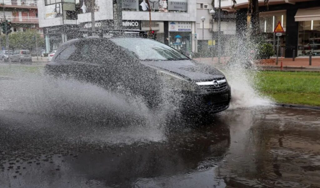
Severe weather: Detailed civil protection measures
Specifically, in areas where heavy rainfall, storms, or strong winds are forecast, the Civil Protection Authority recommends citizens:
– Secure objects that could be swept away by severe weather conditions and potentially cause damage or injuries.
– Ensure that gutters and drains in homes are not blocked and are functioning properly.
– Avoid crossing streams and ravines, on foot or by vehicle, during storms and rainfall, and for several hours after they end. Particular attention is needed at road network points where roads intersect with streams without bridges.
– Avoid outdoor work and activities in marine and coastal areas during severe weather events (risk of lightning strikes).
– Seek immediate shelter during hailstorms. Take refuge in a building or car and do not leave the safe space until certain the storm has passed. Hailstorms can be extremely dangerous for animals as well.
Avoid passing under large trees, hanging signs, and generally areas where light objects (e.g., flower pots, broken glass, etc.) could detach and fall to the ground (e.g., under balconies).
– Strictly follow instructions from local authorities, such as Traffic Police, etc.
In areas experiencing intense lightning activity:
If you are at home:
– Do not hold electrical appliances or phones as lightning can pass through cables. Disconnect televisions from antennas and electrical power supply.
Avoid touching plumbing pipes (kitchen, bathroom) as they are good electrical conductors.
If you are in a car:
– Pull over to the roadside, away from trees that might fall on it.
– Stay inside and turn on hazard warning lights until the storm subsides.
– Close windows and avoid touching metal objects.
– Avoid flooded roads.
If you are outdoors:
– Take shelter in a building or car; otherwise, sit immediately on the ground without lying down.
– Seek protection under solid branches of low trees if you are in a forest.
– Never take shelter under a tall tree in an open space.
– Avoid low-lying areas due to flood risk.
– Do not stand near poles, power transmission lines, telephone lines, and fences.
– Do not approach metal objects (e.g., cars, bicycles, camping equipment, etc.).
– Move away from rivers, lakes, or other bodies of water.
– If you are in the sea, get out immediately.
– If isolated on flat terrain and you feel your hair rising (indicating imminent lightning), crouch deeply with your head between your knees (to minimize your body surface and ground contact) while discarding any metal objects you carry.
Where rainfall is forecast
It is reminded that according to an Emergency Weather Deterioration Bulletin issued today by the National Meteorological Service, locally strong rains and storms are forecast from Tuesday noon (4-11-2025) until Wednesday evening (05-11-2025) in areas mainly of eastern mainland Greece and the northern Aegean.
Citizens can stay informed daily about extreme weather developments through regular weather bulletins from the National Meteorological Service and on the service’s website.