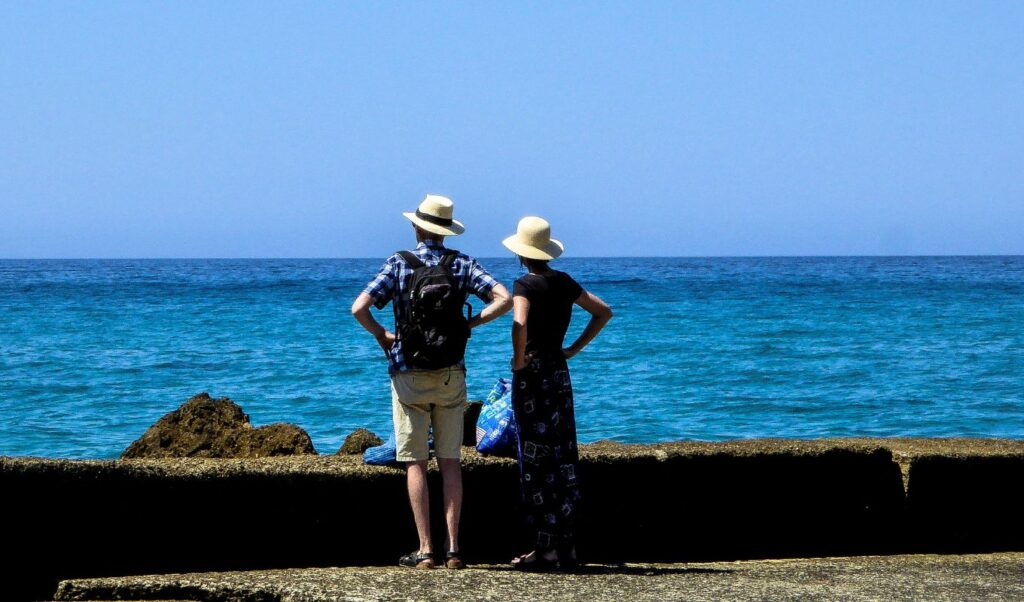
Summer-like weather conditions will dominate the coming days across the country, with high temperatures and temporary cloud cover that will bring local showers mainly in mountainous areas. Specifically, winds will blow from northern directions, strengthened in the Aegean, while temperatures will reach up to 33 degrees Celsius in mainland areas and remain mild on the islands.
Read: Weather: Mercury rises again – Temperature reaches 35 degrees
However, the second half of the week is expected to bring sparse cloud cover and isolated rainfall in mountainous regions, with minor temperature variations and slight wind strengthening. A stable summer weather pattern for most areas, but with local variations that citizens should be aware of.
Weather forecast from the National Meteorological Service
Generally clear weather with temporary cloud cover during afternoon hours in mainland areas, mainly western regions, where local showers will occur and isolated thunderstorms mainly in mountainous areas.
Winds will blow from northern directions, 3 to 5 Beaufort in western areas, 4 to 6 in eastern areas, and temporarily locally 7 Beaufort in the Aegean.
Temperatures will reach 30 to 32 degrees in mainland areas, Ionian islands, eastern Aegean islands and Crete, and locally up to 33 degrees in mainland areas, while in the Cyclades and Sporades they will not exceed 29 degrees Celsius.
MACEDONIA, THRACE
Weather: Generally clear with light cloud cover temporarily increased during afternoon hours in western Macedonia and Thrace, where local showers may occur in mountainous areas.
Winds: Variable 2 to 3 and in eastern areas easterly northeastern 4 temporarily locally 5 Beaufort.
Temperature: Up to 33 degrees Celsius. In western Macedonia 3 to 4 degrees lower.
IONIAN ISLANDS, EPIRUS, WESTERN CENTRAL GREECE, WESTERN PELOPONNESE
Weather: Generally clear with light cloud cover temporarily increased during afternoon hours, when local showers will occur and mainly isolated thunderstorms in mountainous areas.
Winds: Variable 3 to 4 and in the Ionian northern northwestern locally 5 Beaufort.
Temperature: Up to 33 degrees Celsius. In interior Epirus 2 to 3 degrees lower.
THESSALY, EASTERN CENTRAL GREECE, EVIA, EASTERN PELOPONNESE
Weather: Generally clear and only during afternoon hours there will be local cloud cover in mountainous areas of eastern Peloponnese, Thessaly and central Greece, where local showers may occur.
Winds: From northern directions 3 to 5 and in eastern areas temporarily locally 6 Beaufort.
Temperature: Up to 33 degrees and in the Sporades up to 29 degrees Celsius.
CYCLADES, CRETE
Weather: Almost clear.
Winds: Northern northwestern 4 to 6 and in eastern areas locally 7 Beaufort.
Temperature: Up to 29 and in southern Crete up to 32 degrees Celsius.
EASTERN AEGEAN ISLANDS – DODECANESE
Weather: Almost clear.
Winds: From northern directions 4 to 6 locally 7 Beaufort.
Temperature: Up to 32 degrees Celsius. In northern areas 2 to 3 degrees lower.
ATTICA
Weather: Generally clear.
Winds: From northern directions 3 to 5 and in eastern areas temporarily locally 6 Beaufort.
Temperature: Up to 33 degrees Celsius. In eastern and northern areas 2 to 3 degrees lower.
THESSALONIKI
Weather: Generally clear.
Winds: Variable 2 to 3 Beaufort.
Temperature: Up to 32 degrees Celsius.
FORECAST FOR MONDAY 08-09-2025
GENERAL CHARACTERISTICS
Sparse cloud cover locally, which will thicken during midday-afternoon in mainland areas and local showers will occur mainly in mountainous areas.
Locally limited visibility during morning hours in western areas.
Winds will blow from northern directions, 3 to 4 in western areas, 4 to 6 in eastern areas and locally 7 Beaufort in the Aegean.
Temperature without significant change. In mainland areas it will reach 31 to 33, in Ionian islands, eastern Aegean islands and Crete 29 to 31 and locally 32 degrees, and in the Cyclades 26 to 28 degrees Celsius.
MACEDONIA, THRACE
Weather: Sparse cloud cover which will be locally thicker during midday and afternoon hours, when local showers will occur mainly in mountainous areas of Macedonia.
Winds: Variable 3 to 4 and during morning hours in eastern areas northeastern up to 5 Beaufort.
Temperature: From 17 to 33 degrees Celsius. In western Macedonia 3 to 4 degrees lower.
IONIAN ISLANDS, EPIRUS, WESTERN CENTRAL GREECE, WESTERN PELOPONNESE
Weather: Sparse cloud cover which mainly in mainland areas will be locally thicker during midday and afternoon hours, when local showers will occur in mountainous areas.
Winds: Northwestern 3 to 4 Beaufort.
Temperature: From 18 to 33 degrees Celsius. In interior Epirus 2 to 3 degrees lower.
THESSALY, EASTERN CENTRAL GREECE, EVIA, EASTERN PELOPONNESE
Weather: Sparse cloud cover which in mainland areas will be locally thicker during midday and afternoon hours, when local showers may occur in mountainous areas.
Winds: From northern directions 3 to 5 and in eastern areas temporarily locally 6 Beaufort.
Temperature: From 17 to 33 degrees and in the Sporades up to 29 degrees Celsius.
CYCLADES, CRETE
Weather: In the Cyclades generally clear. In Crete sparse cloud cover locally thicker during midday and afternoon hours in mountainous areas, where local showers may occur.
Winds: Northern northwestern 4 to 6 and in eastern areas locally 7 Beaufort.
Temperature: From 21 to 29 and in southern Crete up to 32 degrees Celsius.
EASTERN AEGEAN ISLANDS – DODECANESE
Weather: Generally clear. Few local clouds in northern areas.
Winds: From northern directions 4 to 6 locally 7 Beaufort.
Temperature: From 22 to 32 degrees Celsius. In northern areas 2 to 3 degrees lower.
ATTICA
Weather: Generally clear.
Winds: From northern directions 3 to 5 and in eastern areas temporarily locally 6 Beaufort.
Temperature: From 21 to 33 degrees Celsius. In eastern and northern areas maximum 2 to 3 degrees lower.
THESSALONIKI
Weather: Sparse cloud cover which will be locally thicker during midday and afternoon hours in surrounding mountainous areas, where local showers will occur.
Winds: Variable 2 to 4 Beaufort.
Temperature: From 18 to 31 degrees Celsius.
FORECAST FOR TUESDAY 09-09-2025
Generally clear weather with temporary cloud cover during midday-afternoon in mainland areas, mainly mountainous, where a few local rains or showers may occur.
Locally limited visibility during morning hours in western areas.
Winds will be variable 3 to 4 Beaufort in western areas and in the Ionian will blow westerly northwestern with the same intensity. In eastern areas they will be variable 3 to 4 and in the Aegean will blow from northern directions 4 to 5 and in eastern Aegean locally 6 Beaufort.
Temperature will not show significant change. In mainland areas it will reach 31 to 33 and locally in eastern areas 34 degrees, in Ionian islands, eastern Aegean islands and Crete 29 to 31 degrees, and in the Cyclades 26 to 28 degrees Celsius.
FORECAST FOR WEDNESDAY 10-09-2025
Generally clear weather with temporarily increased cloud cover during midday-afternoon hours in central and northern mainland areas, mainly mountainous.
Locally limited visibility during morning hours in western areas.
Winds in western areas will be variable weak, temporarily during midday-afternoon will blow from western directions 3 to 4 Beaufort. In eastern areas variable 3 to 4 and in the Aegean will blow from northern directions 4 to 5, locally 6 Beaufort.
Temperature will show slight rise.
FORECAST FOR THURSDAY 11-09-2025
Initially generally clear weather throughout the country. Gradually from midday and from western areas clouds will develop which in northern Ionian and mainland areas will be locally increased and local rains or showers may occur mainly in mountainous areas.
Winds will be variable weak in western areas and gradually will become westerly northwestern 3 to 5 Beaufort. In eastern areas will blow from northern directions 3 to 5 and in the Aegean locally 6 Beaufort.
Temperature will not show significant change.
FORECAST FOR FRIDAY 12-09-2025
Sparse cloud cover in most of the country, temporarily thicker initially in northern mainland areas and gradually in remaining mainland areas with local rains or showers and possibly isolated thunderstorms in mountainous areas.
Winds in western areas will blow westerly northwestern 3 to 4, in the Ionian locally up to 5 Beaufort. In eastern areas will blow from northern directions 4 to 5 and in the Aegean 6, locally 7 Beaufort.
Temperature will show slight drop in northeastern areas.