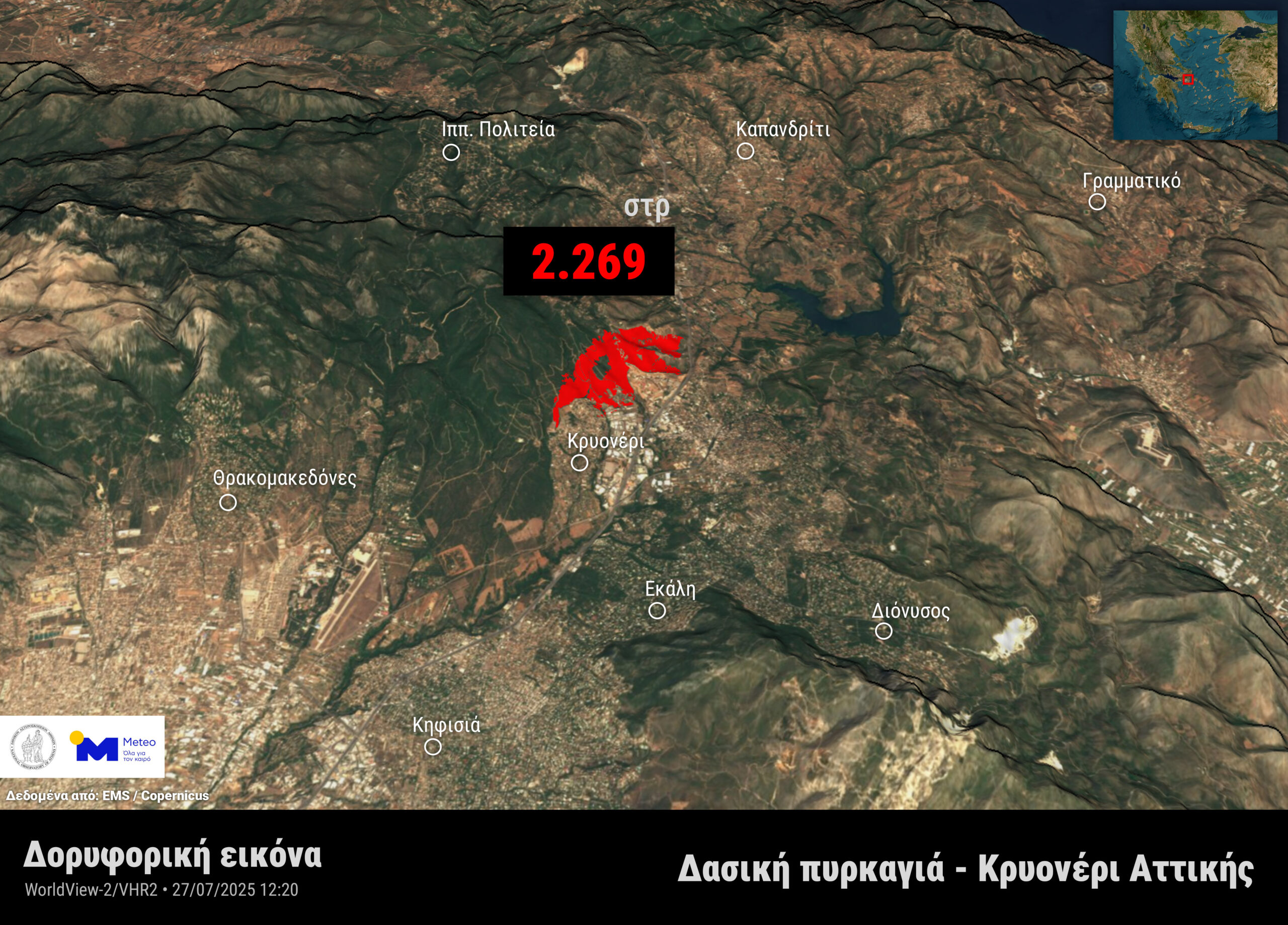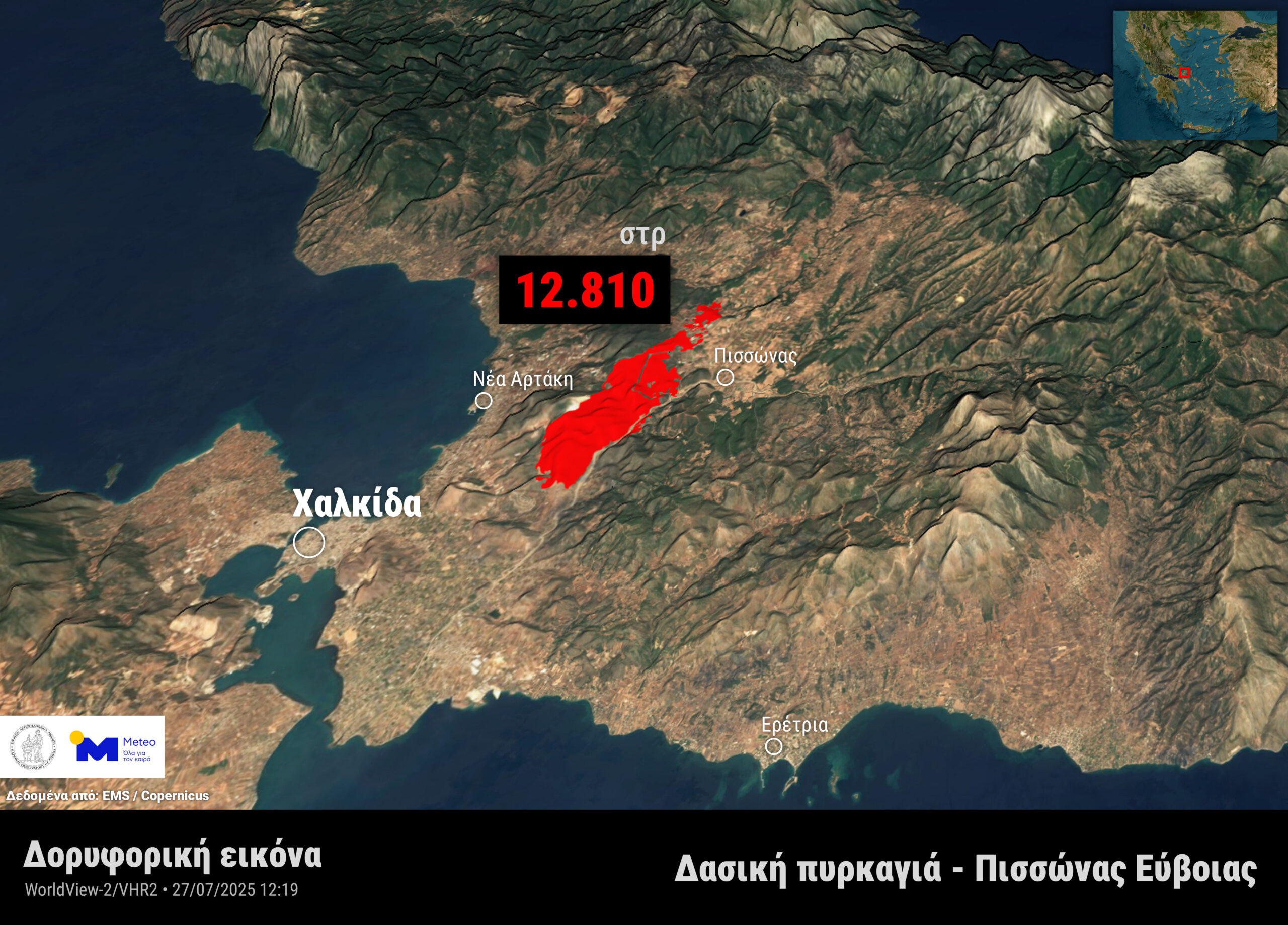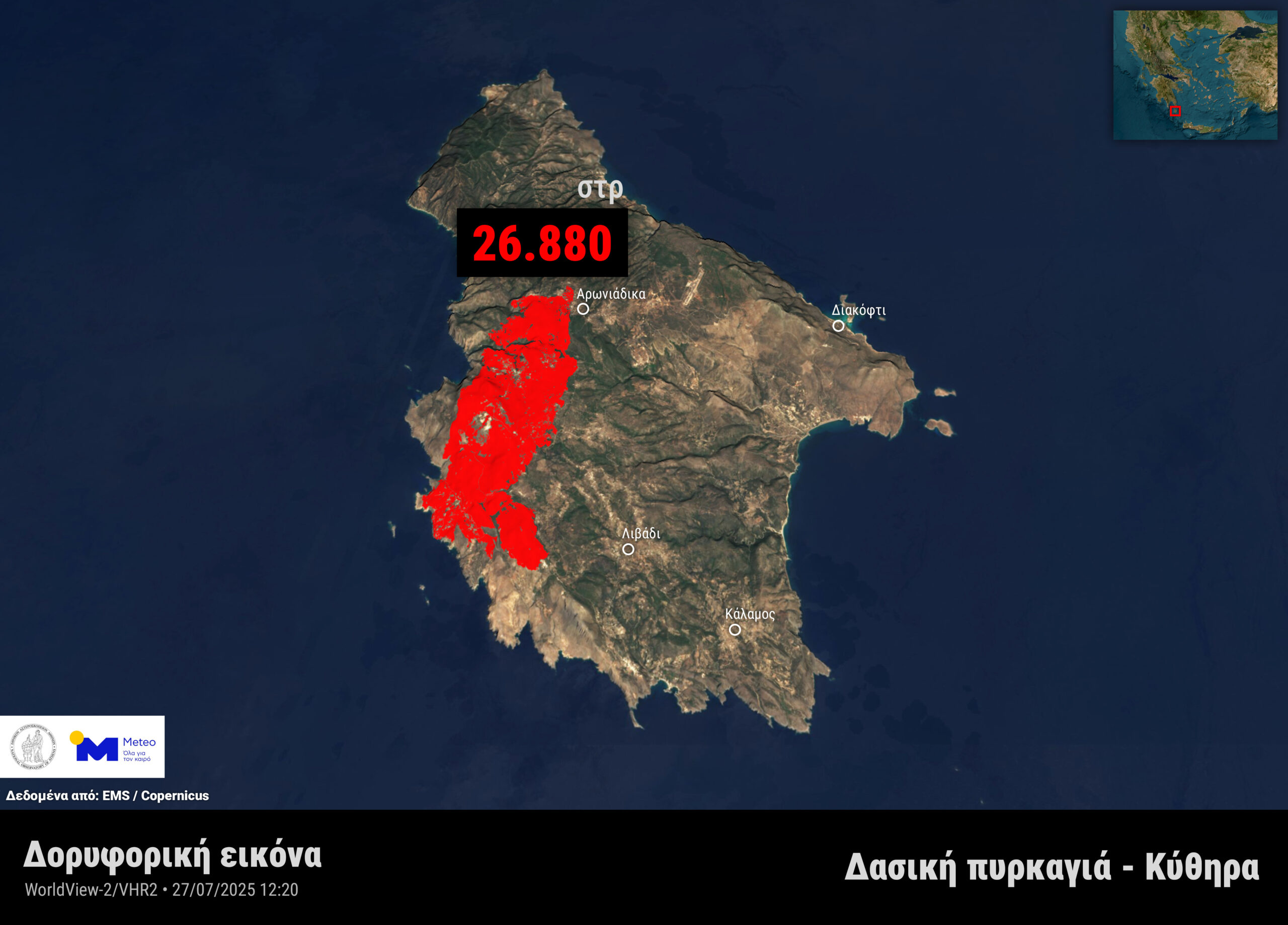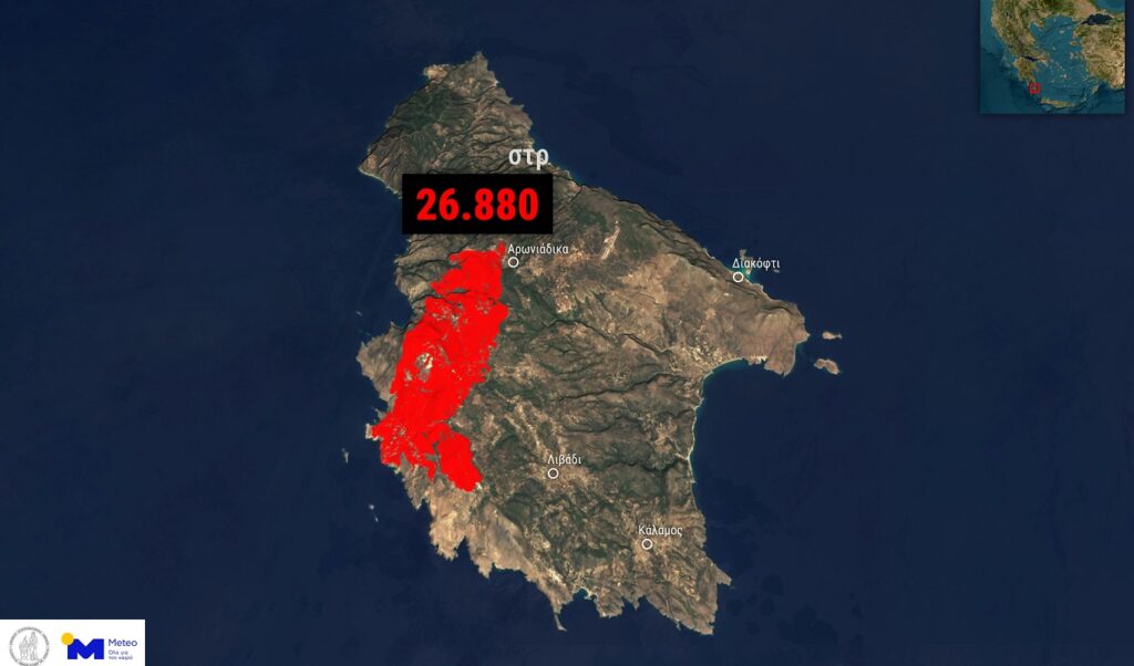
The vast areas turned to ash by wildfires in Kythira, Pissonas Evia and Kryoneri Attica are captured in satellite images published by meteo.gr. As highlighted in the related report, very high-resolution satellite data from the WorldView-2 satellite (VHR2 sensor), which passed over the affected areas on Sunday afternoon, July 27, 2025, was processed by the meteo.gr / National Observatory of Athens team, revealing the extent of areas affected by recent wildfires in Kythira, Pissonas Evia, and Kryoneri Attica.
Read: Fire in Kryoneri: Support measures for victims – What was announced by Civil Protection
It should be noted that according to the analysis of satellite data from the European Copernicus EMS mechanism, by 12:20 PM on Sunday, approximately the following areas had burned:
- 26,880 acres in Kythira.
- 12,810 acres in Pissonas Evia.
- 2,269 acres in Kryoneri Attica.
Wildfires: satellite images
See the images from the satellite: