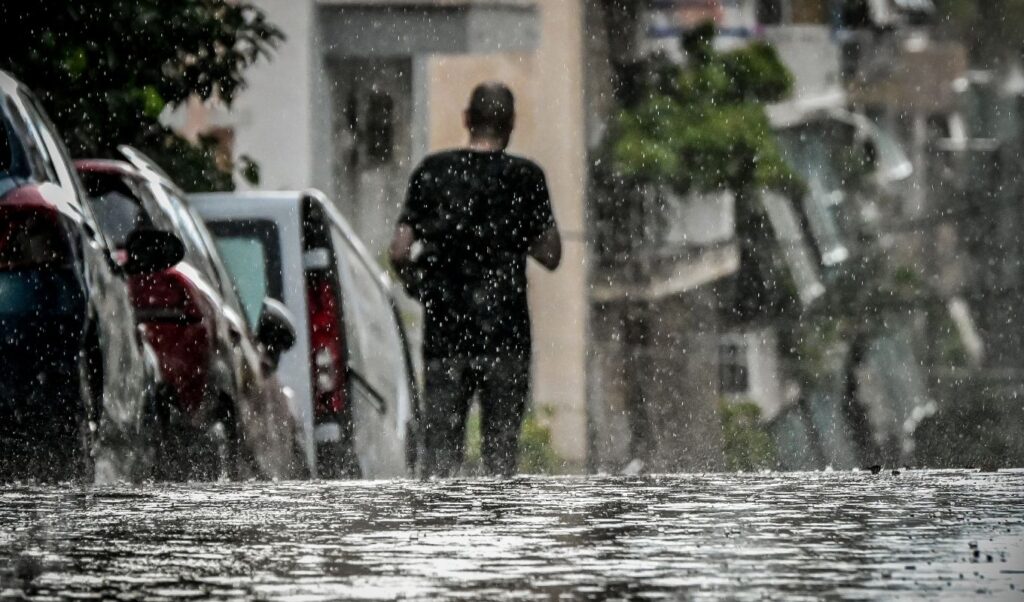
While high temperatures and wildfire risk continue to dominate the final days of August, meteorologists are gradually turning their attention to autumn and the first significant rainfall of the season. After a summer of wildfires that left vast burned areas across several regions of the country, the pressing question now is: what will happen when the weather shifts and the first substantial rainfall arrives?
Read: Weather: September will be warmer and wetter than normal levels – Kolyda’s post (Images)
Meteorologist Nikos Kanteres, speaking to parapolitika.gr, stresses that weather conditions now require close monitoring, as attention gradually shifts from the summer heat to the rainfall that September may bring.
Weather: Focus gradually shifts from heat to rainfall
As he explains, September and October are months when powerful pressure systems develop, which can bring heavy rainfall and flash flooding. This does not mean, however, that it is currently possible to predict whether, when, or in which region such an event might occur.
Areas affected by this summer’s wildfires require particular attention. The loss of vegetation and the degraded condition of the soil can make burned areas significantly more vulnerable when the first autumn rains arrive, increasing the risk of localized flooding.
What Nikos Kanteres highlights
According to Kanteres, an extreme downpour is not necessarily required to cause serious problems. “The rain may not have a high intensity. But if it rains heavily all day long, we don’t need extreme intensity,” he notes, underlining the importance of both the intensity and the duration of a rainfall event.
In this context, he reiterates the need for weather radar systems to be in place and fully operational, so that areas expecting heavy rainfall can be identified in time and early warnings can be issued to the public.
For the experienced meteorologist, the focus of the coming weeks has now firmly shifted to what the transition from summer to autumn will bring.