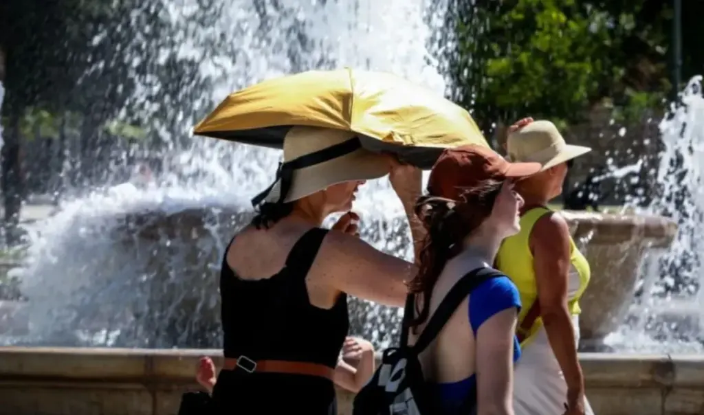
Greece is entering a phase of intense and prolonged heatwave, which is expected to hit the country from Monday, July 21st and last for several days. Meteorologists emphasize that this particular heatwave will be the most powerful so far this year, with temperatures exceeding 40 degrees in many areas. Of particular concern is the fact that high temperatures will persist during nighttime, with mercury remaining between 28 and 30 degrees Celsius.
This situation creates serious challenges for public health and safety, while authorities are calling on citizens to exercise increased caution and follow necessary protective measures. It should be noted that meteorologist Nikos Kanteres estimated that mercury might reach as high as 45 degrees Celsius in certain areas, making an appeal for “proper preparedness from all relevant authorities both for the risk of fire outbreaks and for the protection of vulnerable groups, through proper information”.
Read more: Weather: “Heatwave approaching but with reservations” – Theodoros Kolydas forecast
Weather: New “aggressive” heatwave coming – Which areas will reach 40 degrees Celsius
More specifically, meteorologist Klearchos Marousakis spoke of an organized and extensive heatwave. As he said, “from Monday (21/7) onwards, the situation begins to become more difficult regarding temperatures, as a very hot air mass is coming from the coasts of North Africa. It appears that the period from Monday (21/7) to Friday (25/7) we will experience an organized and extensive heatwave, both in terms of its spatial development and its duration.” Regarding temperatures where thermal stress is expected to be more intense, he noted: “We will have temperatures above 40 degrees locally, that is, in the known heat-vulnerable areas, such as the interior of Central Macedonia, the interior of Thessaly, Attica-Boeotia, western Central Greece, eastern and southern Peloponnese, but also in the eastern and southern Aegean we will typically see temperatures above 38 degrees. The worst of all is that even during the night, mercury will not recede […]. The human body will be burdened, therefore we must take appropriate measures.”
Arniakos: “From Thursday the heatwave recedes”
At the same time, in his forecast, ANT1 meteorologist Tasos Arniakos mentioned that: “From Sunday things become serious and difficult, because the hot masses from Africa begin to climb upward, as the meltemi will start to be limited, and so we expect 40s in Thessaly, while 40s on Monday will manifest in more areas such as eastern Central Greece, Central Macedonia and eastern Peloponnese. Tuesday (22/7) seems to be the hottest day from this heat transport. In Central Macedonia, Thessaly, Evros, eastern and western Central Greece, eastern and southern Peloponnese we will have 40-42 degrees, we cannot rule out seeing some 43s […]. From Thursday things will be better, as cold masses are coming from Northern Europe and plenty of rain and storms, therefore the temperature will recede noticeably”
Papavgouli: “We will have tropical nights”
Along the same lines is the forecast from Action24 meteorologist Olga Papavgouli. “We expect a new heatwave, the third in order for this year, which however will be the most powerful. We will therefore enter heatwave conditions from Monday (21/7) in heat-vulnerable areas, such as Thessaly, Central Greece, parts of the Peloponnese, mainly eastern parts, but also parts of Epirus and Central Macedonia, as well as the southern parts of Crete and the Dodecanese will see temperatures around 40 degrees Celsius, and above. Around 42-43 degrees locally and perhaps in more enclosed geographical parts of Thessaly and central Greece we might see even 44 to 45 degrees Celsius, such as in Larissa, in Karditsa. I keep a reservation. We will also have heat at night, tropical nights as we meteorologists say. The temperature will not drop below 28-30 degrees Celsius. From Friday onwards we expect temperature escalation” she mentioned.


