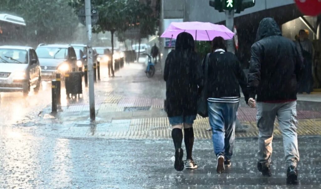
A deep low-pressure system that has formed in the South Adriatic is moving eastward and is expected to affect the country over the next twenty-four hours, bringing severe weather with strong and locally potentially dangerous phenomena. Meteorologist Dimitris Ziakopoulos, through his forecast, emphasizes that the coming hours require increased caution, as the scenario will include rain, local thunderstorms and snowfall mainly in mountainous areas. The strong winds that will blow in many areas, reaching up to 9 Beaufort, create conditions that may cause problems both at sea and on land. According to his analysis, the winds will initially be southwesterly and then turn to westerly and northwesterly, with particular intensity in the western and southern regions of the country.
Severe weather: Risk of floods and landslides
The intensity of the winds increases the risk of high-intensity wave activity, with the possibility of storm surge development in coastal areas that are windward to the current. These phenomena may lead to local flooding episodes. Particular emphasis is placed on the western regions of the country, where continuous rainfall from previous days has already burdened the soil. The new rainfall increases the risk of flooding phenomena or even landslides, especially in areas with steep terrain. Local authorities are called to be on increased alert, while citizens should avoid unnecessary movements in dangerous locations.
How long will the severe weather last
At the same time, the temperature will drop, initially regarding maximum values in northwestern Greece and then throughout the country. On Wednesday, gradual improvement of weather is expected from west to east, with winds remaining northwesterly 6 to 8 Beaufort, but with a weakening trend. The development of phenomena is closely monitored by the National Meteorological Service, which has already issued relevant warnings for the areas that will be most affected.
Dimitris Ziakopoulos’ post on weather developments
“A deep low-pressure system in the South Adriatic, accompanied by weather fronts, is moving eastward and during the new twenty-four hour period (Tuesday) will affect mainly Western Greece and the eastern and southern island areas of the country with rain, snowfall (mountains) and local thunderstorms,” Dimitris Ziakopoulos characteristically states on his website.
“The winds, initially SW and gradually from west to east W-NW, will reach 9 Beaufort (western and southern areas), resulting in problems at sea and on land. It is noted that in coastal areas windward to the current, flooding phenomena are likely to be observed due to so-called storm waves,” he continues.
“Risk of flooding phenomena and/or landslides also exists for the western areas of the country due to new rainfall and soil conditions created by the rains of the previous many days. The temperature will drop regarding its maximum values mainly in NW Greece,” he adds.
“On Wednesday (18/2), gradual weather improvement is expected from west to east. Winds will blow NW 6 to 8 Beaufort with gradual weakening and temperature will drop throughout the country,” he concludes.


