The arrival of storm “Kristin” has begun across regions of the country with heavy rains and thunderstorms. By midday, the dangerous weather phenomena appeared in Attica, the Ionian, Epirus, western and central Sterea, but began to weaken during the noon hours. On Friday, they will continue in the Western Peloponnese, while in Thrace and the islands of the northern and eastern Aegean they will persist until evening.
Live storm development:
Storm: Emergency weather deterioration bulletin
According to the National Meteorological Service and the updated Emergency Weather Deterioration Bulletin, heavy rains, thunderstorms and possibly local hailstorms are forecast today, Thursday:
– in the Ionian islands, Epirus and western and central Sterea until noon
– in the western Peloponnese until late afternoon
– in Thrace until evening
– in the northern and eastern Aegean islands from afternoon until late night
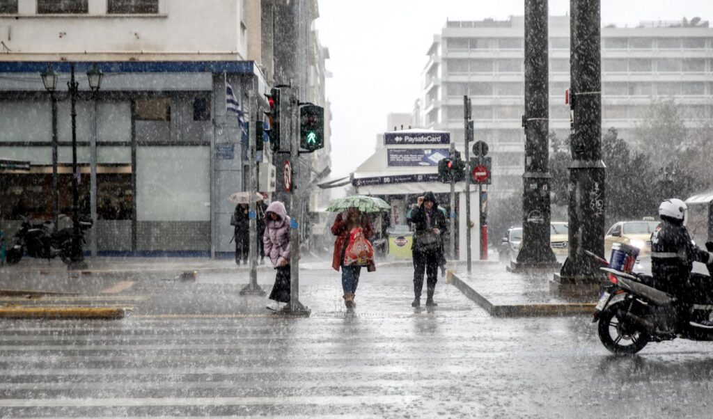
in Attica temporarily during noon hours.
Friday weather forecast
In the Eastern Aegean islands and the Dodecanese, rains and scattered thunderstorms. The phenomena, which may be locally intense during the first hours, will quickly weaken, but during the night will intensify again in the south.
In the rest of the country, light clouds temporarily increasing with local rains mainly in the west and north, which from evening in the southwest, Crete and the Cyclades will intensify and scattered thunderstorms will also develop. Light temporary snowfall will occur in the northern mountains. Winds will blow from western directions, in the north 4 to 5, in the south 5 to 7 and temporarily in the seas locally 8 Beaufort, weakening from afternoon. Temperature will reach 13 to 15 and locally in central Macedonia 16 degrees in the northern mainland, 16 to 18 degrees in the rest of the country and locally in Crete and the Dodecanese 19 to 20 degrees Celsius.
Civil Protection: Recommendations to citizens
Specifically, in areas where heavy rainfall, thunderstorms or gale-force winds are forecast:
– Secure objects which, if swept away by severe weather phenomena, could cause damage or injury.
– Ensure that drains and gutters of residences are not blocked and function normally.
– Avoid crossing torrents and streams, on foot or by vehicle, during storms and rainfall, as well as for several hours after they end. Special attention is needed at road network points where the road crosses torrents without a bridge.
– Avoid outdoor work and activities in marine and coastal areas during severe weather phenomena (danger from lightning strikes).
– Take immediate shelter during hailstorms. Take refuge in a building or car and do not leave the safe space until certain the storm has passed. Hailstorms can be very dangerous for animals too.
– Avoid passing under large trees, under hanging signs and generally areas where light objects (e.g. flower pots, broken glass etc.) may detach and fall to the ground (e.g. under balconies).
– Follow faithfully the instructions of competent local authorities, such as Traffic Police etc.
In areas with intense lightning activity:
If you are at home
– Do not hold electrical devices or the telephone as lightning can pass through cables. Disconnect television sets from antenna and electrical power supply.
– Avoid touching plumbing pipes (kitchen, bathroom) as they are good electrical conductors.
If you are in a car
– Stop at the roadside away from trees that might fall on it.
– Stay inside and turn on hazard warning lights until the storm subsides.
– Close windows and do not touch metal objects.
– Avoid flooded roads.
If you are outdoors
– Take shelter in a building or car, otherwise sit immediately on the ground without lying down.
– Protect yourself under solid branches of low trees if you are in a forest.
– Never take shelter under a tall tree in open space.
– Avoid low ground due to flood risk.
– Do not stand near poles, power transmission lines, telephone lines and fences.
– Do not approach metal objects (e.g. cars, bicycles, camping equipment etc.).
– Move away from rivers, lakes or other water masses.
– If you are in the sea, get out immediately.
– If you are isolated on flat terrain and feel your hair rising (indicating lightning is about to strike), crouch with your head between your legs (to minimize your body surface and ground contact) throwing away any metal objects you have on you.
Emergency weather deterioration bulletin
Specifically, heavy rains, thunderstorms and possibly local hailstorms are forecast today Thursday (29-01-2026):
a. in the Ionian islands, Epirus and western and central Sterea until noon.
b. in the western Peloponnese until late afternoon.
c. in Thrace until evening.
d. in the northern and eastern Aegean islands from afternoon until late night.
e. in Attica temporarily during noon hours.