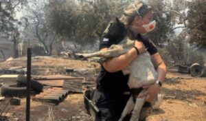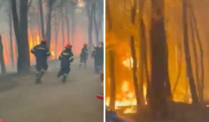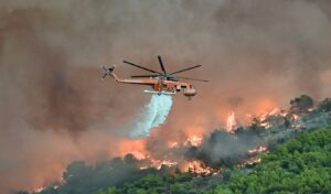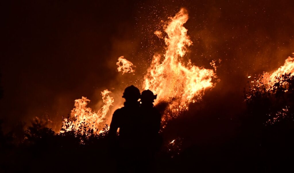
The major wildfires that broke out in recent days across different parts of the country, the dramatic hours in Rethymno, and above all the loss of three firefighters within just a few hours, paint the starkest possible picture of the dangerous period Greece has now entered. The fire fronts of the last 24 hours developed under the influence of an exceptionally powerful meltemi wind, with gale-force gusts and extreme wind speeds, at a time when vegetation and fuel material have already reached a critically dry state. This combination can both trigger and rapidly spread a wildfire, while significantly hampering the efforts of firefighting forces.
At the center of the crisis was southern Rethymno, where firefighters were called to operate under extremely harsh conditions, with wind gusts reaching up to 125 kilometers per hour. The intensity of the winds also caused serious problems for aerial firefighting operations. The toll on the Fire Service was heavy. In Rethymno, 25-year-old seasonal forest firefighter Pantelis Diamantakis and 58-year-old five-year contract firefighter Manolis Stratidakis lost their lives, while in Githio, 27-year-old local Fire Service deputy commander Konstantinos Laimodetis was killed in the line of duty.
Wildfires: “Caution in the coming weeks,” warns Lagouvardos
Against the backdrop of the active fire fronts, Kostas Lagouvardos, research director at the National Observatory of Athens, speaking to Parapolitika, urges caution in the weeks ahead. The meltemi, he explains, is not an unusual phenomenon for Greece. What set the last few days apart was its exceptionally high intensity. “The meltemi is not rare. It is a hallmark of summer. But we are talking about a very powerful meltemi,” notes Mr. Lagouvardos, adding that “when we have such strong wind, the fire danger increases dramatically.” It is worth noting that in the case of the fire fronts in Rethymno and Sitia, the winds were so strong that aerial operations became impossible. While the weakening of the meltemi offers some initial relief, it does not signal the end of the dangerous period — because wind is only one variable in the equation.
Flammable materials
The condition of vegetation, and particularly so-called dead fuel material, is of critical importance. This refers to dry leaves, pine needles, thin branches, and organic matter on the ground that loses moisture rapidly during summer. According to Mr. Lagouvardos, a prolonged extreme heatwave is not necessarily required to create hazardous conditions. Even temperatures around 35°C, when combined with extended sunshine and no rainfall, are enough for dead fuel to dry out quickly. And as summer progresses, the underlying conditions become increasingly dangerous. When strong winds are added into the mix, the conditions for a wildfire to develop become especially severe.
The most significant warning from Mr. Lagouvardos concerns the time of year we are currently in. The second half of July and August have historically been the most dangerous period for large wildfires in Greece. “We are entering a period from mid-to-late July through August that is very dangerous for wildfires. If you look at the historical record, this is the period during which the major fires in our country occur,” he stresses. This is essentially a critical window of approximately five to six weeks, during which vigilance must remain at its highest. August, after all, is the prime month of the meltemi. So even after the current weakening of the winds, a new episode of strong northerly winds cannot be ruled out. “We could once again see dangerous fire-weather indices,” warns Mr. Lagouvardos.
Extreme intensity
The severity of the conditions faced by firefighting forces in Crete is illustrated by data shared with Parapolitika by meteorologist Christina Rigou. In southern Rethymno, wind gusts reaching 125 km/h were recorded over the last 24 hours. This extreme intensity, as Ms. Rigou explains, is also linked to the topography of Crete. Northerly winds, upon reaching the island, pass over the mountain ranges and accelerate as they descend toward the southern areas. “As the wind reaches Crete, passes over the island’s mountains and comes down the other side, it gains greater speed — which is why these extreme gusts are observed,” says Ms. Rigou. The situation, however, is gradually beginning to improve. From the 7–8 Beaufort recorded on Saturday, winds on Sunday are expected to ease to 6–7 Beaufort, with the de-escalation becoming more pronounced as the day progresses.
Monday is expected to bring a clearly improved picture. The retreat of the meltemi, however, will be accompanied over the coming days by a gradual rise in temperatures. According to Ms. Rigou, from Tuesday and especially from Wednesday, the mercury will begin to climb, with temperatures reaching 38–39°C, while in areas particularly vulnerable to heat — such as Thessaly, Aetolia-Acarnania, and Central Macedonia — highly localized readings of up to 40°C cannot be ruled out. Based on current data, this does not constitute a new heatwave. However, the heat is arriving on top of an already dry summer environment. And that may be the greatest challenge of the weeks ahead: the very powerful meltemi of recent days is subsiding, but the fuel material continues to dry out and August lies ahead. A new combination of heat, dry vegetation, and strong winds could once again create extremely dangerous fire-weather conditions, at a time when Greece has already entered the most critical weeks of the wildfire season.
Published in Parapolitika