The country is gradually entering an organized period of severe weather starting Wednesday, which bears the name “ADEL” (from the Israeli Meteorological Service) and will last approximately until Saturday. According to meteorologist Ioannis Kallianos, this is a powerful low-pressure system that will affect almost the entire Greek territory, causing significant instability and successive rainfall.
During these four days, locally strong storms are expected, with greater frequency and intensity in the West, North, and Eastern Aegean. Meanwhile, southern winds will strengthen, reaching 6-7 Beaufort and temporarily in open seas, gusts may reach 8 Beaufort, which will enhance the supply of warm and humid air masses toward the country.
Storm Adel: How it will affect different regions
ESTIMATED CUMULATIVE RAINFALL BY REGION (WEDNESDAY–SATURDAY)
– Ionian: 200–250 mm (mainly in central and northern parts)
– Epirus: 150–170 mm (mainly in central and western areas)
– Western & Southern Peloponnese: 160–180 mm
– Eastern Macedonia – Thrace: 200–250 mm
– Eastern Aegean: 200–220 mm
– Attica: 70–90 mm, with intermittent storms
– Thessaloniki: 100 – 120 mm, with intermittent storms
Note: The estimated cumulative rainfall heights listed provide an initial picture based on the latest available forecast data. There may be deviations regarding the final distribution and intensity of phenomena, as numerical models are constantly readjusted. Nevertheless, I must present at this moment what is recorded in the most recent projections, so that there is clear and responsible information.
When phenomena will peak
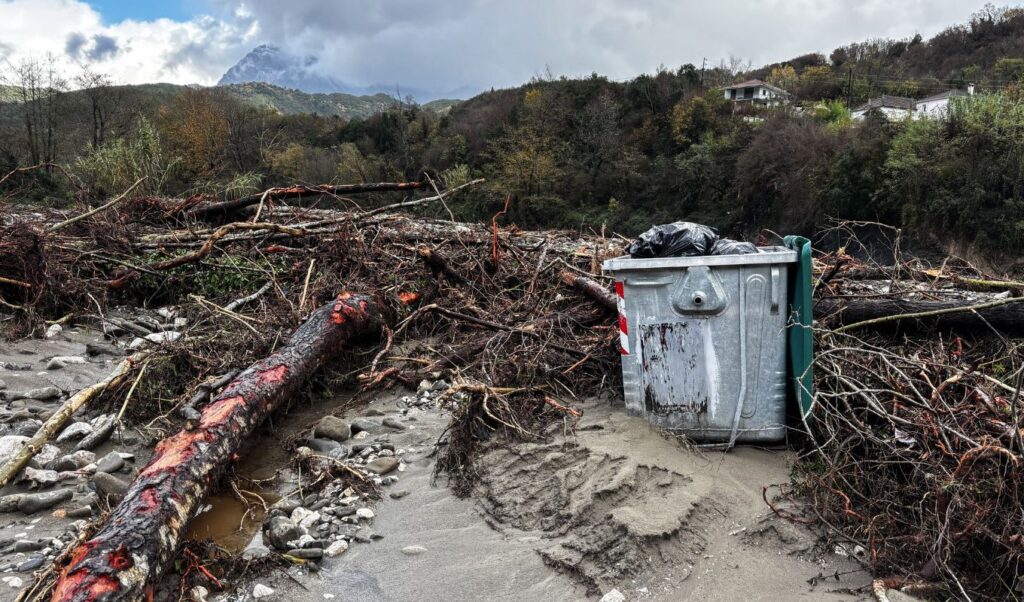
Thursday and Friday constitute the two-day period when phenomena will peak, with more extensive rainfall and storm activity and longer duration. Although there will be some intervals with improved weather, the unstable atmosphere that will prevail during the “ADEL” severe weather will continue to cause rain and storms until the end of the week. Temperature will not show significant change, remaining at levels slightly higher than seasonal climate values. From Sunday, the system will move further east, allowing gradual weather improvement.
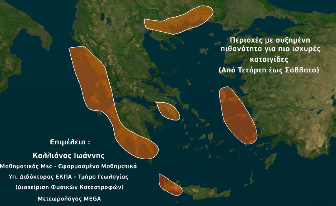
Which areas face flood risk
Pay close attention to the following text – map: Based on currently available data, the areas or prefectures that present the highest probability (during these four days) for locally very strong rainfall or storms -capable, under conditions, of leading to flood phenomena or even hydrological and geotechnical disasters- are:
– Corfu
– Paxi
– Lefkada
– Ithaca
– Kefalonia
– Zakynthos
– Thesprotia – Preveza (western parts)
– Aetolia-Acarnania (western parts)
– Elis (western parts)
– Messenia
– Laconia (southern parts)
– Halkidiki (eastern parts)
– Serres (southern parts)
– Drama (southern parts)
– Kavala (and Thasos)
– Xanthi (southern parts)
– Komotini
– Rhodope
– Chios
– Samos
– Icaria
– Kos
– Chania (western parts)
– Attica and Thessaloniki (lower probability, but existing)
The possibility that other areas of the country may also show local problems is not excluded, however, in my estimation, the aforementioned zones are in the front line of priority regarding the need for vigilance and close monitoring of weather developments by the state mechanism.